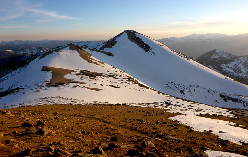
People would have you believe that Lake Tahoe in the spring is paradise. The days are becoming longer and the sun seems to be a little warmer. You’ve weathered fierce winter storms and now you’re ready to hit those famed Tahoe hiking trails. You’re looking forward to visiting your favorite peaks, finding unique and vibrant wildflowers, and maybe even starting off the backpacking season with a quick overnight trip.
That all sounds glorious, but let’s hold that thought for a moment and gain some perspective.
Yes. Tahoe in the spring is paradise. In the summer it’s paradise. Tahoe in the fall is paradise. It’s also a paradise in the winter. Tahoe on a sunny day, in a snowstorm, in the rain, in the dark, on a train…
You see where I’m going with this?
When you’re finished reading this article, check out my companion piece with additional tips and techniques for spring hiking, read Tips for Spring Hiking in the Mountains at Lake Tahoe.
Support Tahoe Trail Guide with a financial contribution via PayPal (single contribution) or Patreon (reoccurring contributions). Your support of Tahoe Trail Guide is very much appreciated!

Below is a video I produced about hiking at Lake Tahoe during the spring. This video covers the considerations I pose regarding the volatile nature of springtime conditions. Additionally, I offer the tips that I write about in the companion article Tips for Spring Hiking in the Mountains at Lake Tahoe.
Please note that I wrote this article about hiking, not advanced mountaineering. This article is for beginner and intermediate adventures, so most of my recommendations are common sense solutions rather than technical skills requiring specialized gear. Also note that I fully embrace the philosophy that “the summit is optional, the descent is mandatory.” There’s no benefit to becoming a casualty of the mountains. I always advocate turning back when in doubt.
Another Day in Paradise
There’s no question that Tahoe is paradise. But the thing about paradise is that it doesn’t care about what clothes and gear you packed. Nor does it care about how long your commute took, what you had planned to do when you arrived, or how much money, time, and resources you invested into your trip to paradise.
It’s not my intention to sound cynical or to discourage you from coming to Lake Tahoe for a spring adventure.
However, the weather at Lake Tahoe during the spring is volatile. Therefore, you need to be prepared both physically and mentally for inclement weather that typically hits during the spring.
Spring weather at Tahoe can be frustrating at best and life-threatening at worst depending on your backcountry location. So, in spite the spring equinox landing on or about March 20th each year, many of us Tahoe locals often carry on as if we were still operating in winter conditions.
If the previous winter resembled anything close to a normal snow year, we’ll remain vigilant through the end of May.
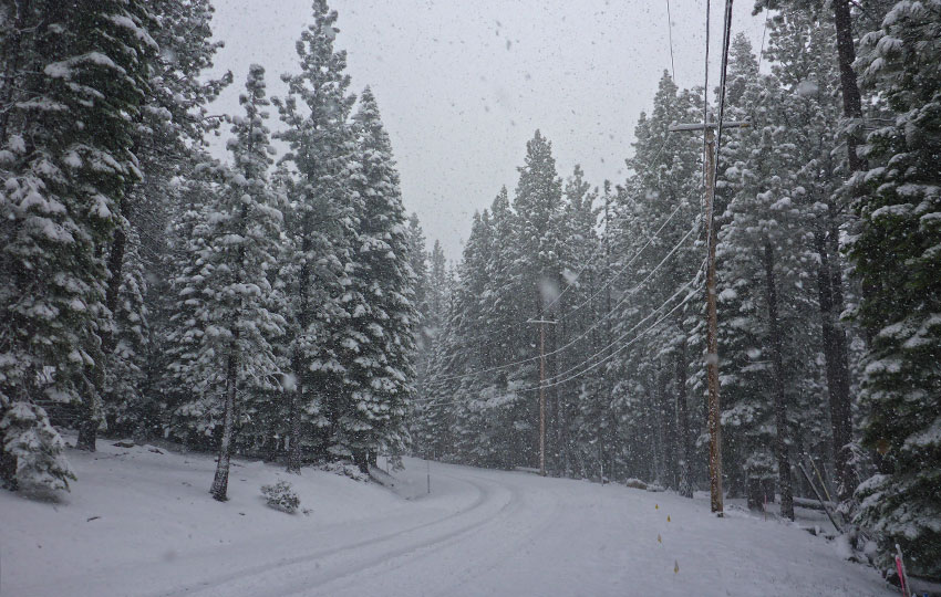
The Sierra Nevada Mountains surrounding Lake Tahoe may not be the highest mountains on the map. However, Lake Tahoe still sits over a mile above sea level. It can receive snow as late as June and as early as September.
For example, the first stage of the 2011 Amgen Tour of California was scheduled to begin in South Tahoe on May 15th. However, the stage was cancelled due to a significant snowstorm.
The organizers then shortened and re-routed the second stage. So instead of it beginning at Squaw Valley, it started further west “off the hill” in Nevada City.
Commentators called it a “freak” storm, but there wasn’t anything freakish about it.
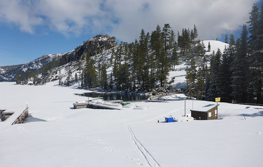
For reference, I took most of the photos for this article between March 22 – June 15, 2016. Lake Tahoe’s 2015/16 winter was considered “normal.”
If the previous winter provided a huge snowpack, the concepts presented here may be applicable all the way into August. For preceding drought winters, you’re looking at a pretty standard hiking experience. That said, you might be dealing with wildfires and smoke at Lake Tahoe.
Read short and easy hikes in South Lake Tahoe for a list of shorter hiking trails. Most of the trails featured on that list are at lower elevations.
Normal to an Above Normal Snowpack Makes for Long-Lasting Snow
Lake Tahoe experienced four consecutive drought winters between 2011 and 2015. Then, the 2015/16 winter season brought relatively normal amounts of snow to the Northern Sierra Nevada Mountains.
The snowpack was at 97% of its average on March 30, 2016. Although that winter was “normal,” I considered it fantastic compared to the previous four years.
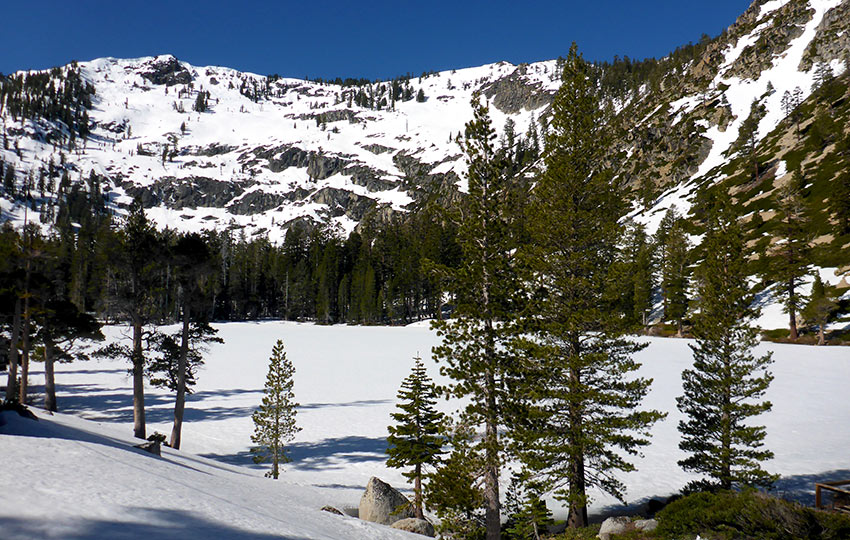
Snow patches and fields remained in the higher elevations well into June. The winter’s snowfall threw for a loop many new travelers to the region. Even recent transplants to Tahoe were caught off-guard. They simply weren’t accustomed to dealing with so much snow so deep into spring.
Tips for hiking in snowy conditions during the spring at Lake Tahoe:
- Choose your routes wisely
- Lower your expectations for mileage
- Be conscious each and every step you take
- Plan to hike through snow, water, and mud (i.e. wet feet)
- Study your maps and make notes of the relevant terrain features for your planned route
Hiking and Backpacking in the Spring at Lake Tahoe is Challenging
If you’re planning to hike or backpack during the spring at Lake Tahoe, do your research on snowpack levels. Then, come prepared with contingency plans such as cross-country skiing or snowshoeing lest your originals fall through.
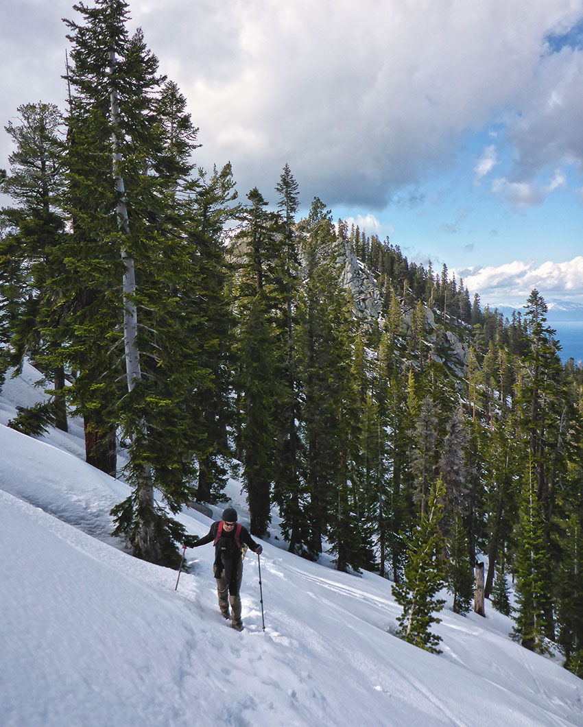
On April 29, 2016, I snowshoed up to South Maggie’s Peak via the Bayview Trailhead. This hike is located just south of Emerald Bay. My friend and I were confronted with deep snow less than 500 feet up the trail. We were able to hike without snowshoes for a short while thanks to previous hikers having kicked steps into the snow.
As we progressed up the mountain, we met a number of college students on their way back to the trailhead. We were impressed by these backpackers. We were wearing winter boots and gaiters and carried snowshoes and crampons. They, on the other hand, wore t-shirts, shorts, running shoes, and fully loaded backpacks.
“Wow. You guys actually stayed up there last night?” I asked.
“No, we just hiked up a couple hours ago. We’re on our way back to the car now,” the lead person said.
“What do you mean? Are you guys in training something, carrying those big backpacks?”
“Nope. We finished our college classes for the weekend. And, on a whim, we drove up from the coast hoping to have a relaxing time in Desolation Wilderness. But we didn’t realize there was still so much snow up here.”
After a normal or above average winter, Lake Tahoe is snowy, wet, and muddy through April. And May will probably relatively wet and sloppy, too.
Even at lower elevations and on south facing aspects, you’ll most likely still encounter snow and moisture. For example, large sections of trails at Washoe Meadows State Park and Cathedral Meadow will be submerged in water in April.
Trails that start low but quickly climb expose you to deep snow within hundreds feet of elevation gain. The Bayview trailhead, leading up to Maggie’s Peaks, is an example of this situation.
Also note that north facing aspects of the mountains will often feature icy areas throughout the day. So, don’t let that brief section of trail covered with snow or ice fool you. It only takes the surface area of your shoe to slip on the ice to ruin your day. And, your leisurely walk could turn into a fight for survival depending on your location and the time of day.
Transformational Snow Makes for Challenging Trails and Routes
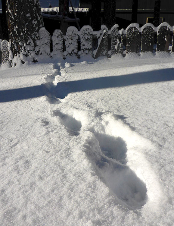
Everyday during the spring in the Sierra Nevada, the snow goes through a freeze-melt cycle. So on any given day you, could be dealing with multiple qualities of snow.
Overnight, the snow freezes. Then, by early morning, it’s as hard as cement.
As the snow begins to warm up, it transforms into spring “corn.” This is the sweet spot for backcountry skiing. And, it usually lasts from 9:30-11:30 AM.
But by midday, that wonderful corn converts to the dreaded sticky mashed potatoes. And what was easily passable earlier in the day under firm conditions, may be impossible to cross by late afternoon.
Snow bridges can collapse or may no longer be stable enough to cross. Rapid snowmelt can result in treacherous water features.
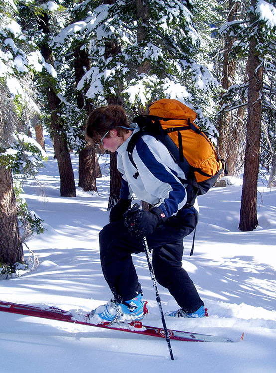
And, traveling through mashed potatoes can be downright exhausting. Whether you’re on alpine touring skis, cross-country skis, or snowshoes, the snow can cling to your gear every step of the way.
If you’re out hiking, then you’re going to be postholing and/or wading through slush. Pushing big miles through this type of snow will take forever. And it’ll leave you exposed to the baking sun and cost you tons of calories.
No matter your mode of travel, try to avoid covering significant distances during the warmest hours of the spring day.
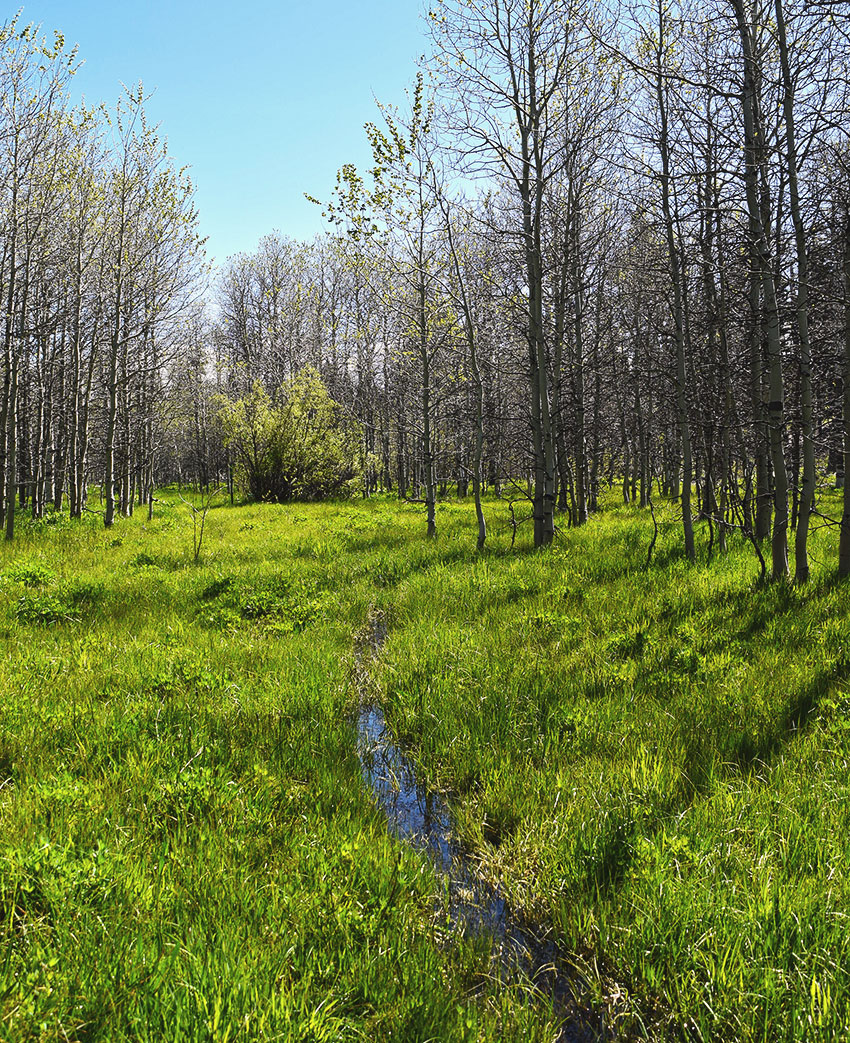
On the other hand, traveling too early or late in the day can be even more dangerous. Because, you may find yourself facing ultra-slick surfaces.
Snow features that looked simple to negotiate from afar often are more concerning when viewed up close. Even if the ground beneath looks safe, sliding down a 10-foot icy slope is dangerous. But then add a pile of rocks or trees with protruding branches to your landing zone and you’re looking at potential trauma.
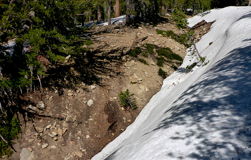
When you do safely negotiate that obstacle, there’s probably another one waiting around the corner to slow you down.
Although you may have hiked that trail dozens of times during the summer, things look different covered in snow. There’s also the chance that you’ll become disoriented by circumnavigating dangerous terrain features.
Unpredictable Weather Patterns Make for Difficult Gear Choices
For many outdoor recreation retailers, spring is the most difficult season for which to plan.
By April and May, if not earlier, most retailers have pulled their cold weather gear and replaced it with summer stuff. So it’s challenging to find winter-related technical clothing in the spring.
No matter the season, I always recommend packing base layers, beanies, and gloves. These are all relatively affordable items that you should own even if you didn’t absolutely need it today.
At the end of spring, retailers typically have a bunch of oddball sizes and selections of gear remaining. This gear often ranges from cheap and unreliable to something expensive and in need of more research.
Outdoor retailers try to sell their gear as quickly as possible in the season. And they seldom plan to re-order much, if anything. This is because they don’t want to have to store winter gear over the summer. And they know that nobody wants to see last season’s selection on the shelves the following year.
It can even be difficult to find winter gear by January or February for this same reason. Those retailers push their products hard during November and December.
The obvious problem with this scenario is that cold fronts can arrive anytime at Lake Tahoe. So, if you don’t come prepared, you may find yourself freezing at night on that weekend backpacking trip to Desolation Wilderness.
During March, April, and May, it’s safe to expect cold nighttime temperatures (high 20s to low 30s). We often have moderate daytime temperatures (mid 40s to low 70s). Then, there can always be some precipitation, whether it be rain, sleet, or snow, mixed in for good measure.
Monitor the forecast. But know that general warming trends are useless to you if the temperatures on the specific night in which you’ll be camping are lower than expected.
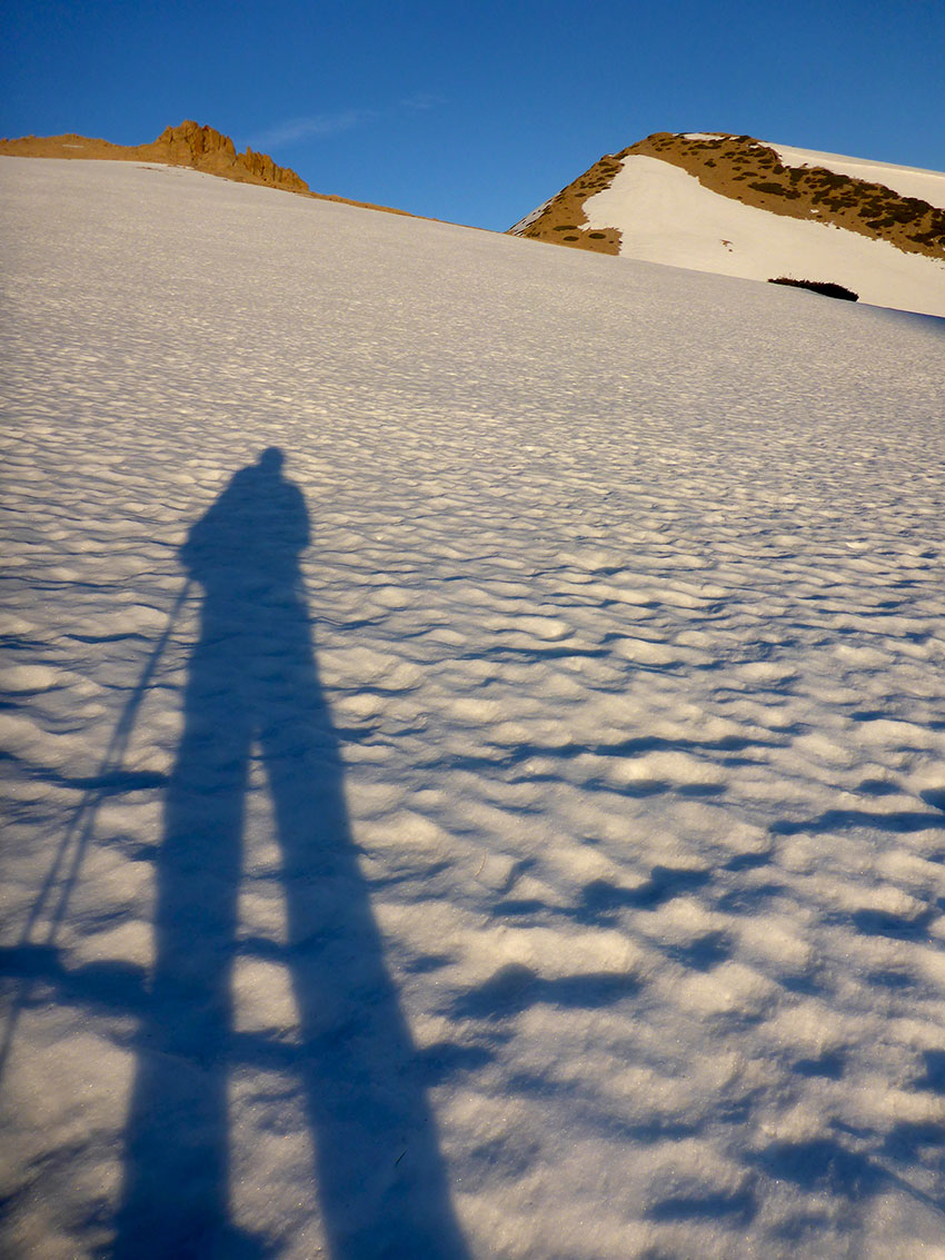
From 2014-2017, I worked at a backpacking store in South Lake Tahoe. During that time, I met many backpackers who underestimated the spring nighttime temperatures in Desolation Wilderness.
After their first night, they’d come down from the mountain to buy a thicker base layer or sleeping bag liner. Sometimes they’d even by a new, colder-rated sleeping bag. Which, as you probably know, is no small purchase.
Occasionally, those backpackers would scrap their plans completely. Much like the college students I mentioned previously.
A general rule of thumb when determining temperatures at higher elevations is:
- Decrease the forecasted temperature by 3-5 degrees for every 1,000 feet of elevation gain
- Published Tahoe forecasts are often determined at a lower elevation, such as at lake level
For example …
If the Lake Tahoe (roughly 6,300 feet) forecast calls for a 32 degree overnight temperature, and you’re going to be camping at Lake Aloha (roughly 8,200 feet), plan for an overnight temperature of about 22-28 degrees.
The 6-10 degree variation would be due to the 1,900 feet of elevation difference of locations.
You’d think that winter would be more challenging to deal with as far as your gear goes. However, you’re nearly guaranteed it’s going to be cold and snowy during the heart of winter. As a result, you’ll probably have a good idea as to what you need to pack.
With spring, on the other hand, it’s usually frigid in the morning and hot in the afternoon. And, you’re probably suffering from a little wishful thinking by desperately wanting summer to finally arrive. That, in turn, can cause even the best of us to pack too light.
Bring with you extra base layers, a beanie and a set of gloves, and wear or carry some type of weather proof shell.
Honestly, I pack all of these items no matter what the season is at Tahoe. You just never know when a cold, wet storm is going to hit.
On June 15, 2016, a friend and I hiked from the Big Meadows campground to Scott’s Lake. The day was overcast and cool. But we were only a week away from the first day of summer. So, we were both a bit surprised that immediately we felt compelled wear the extra base layer we both brought. Just in case happened as soon as we stepped out of the car. Even more surprising was being pummeled with snow flurries an hour later!
Be prepared to deal with transformational snow when planning to travel deeper into the Tahoe backcountry.
For the early morning ice and hard-packed snow carry with you a set of micro-spikes, crampons, or snowshoes.
Final Thoughts about Spring Hiking and Backpacking at Lake Tahoe
Everyone has a story to tell about shivering through the night during a miserable camping or backpacking trip. In most instances, those cold nights usually just make for character building experiences.
But push those circumstances further into the backcountry. Lower the temperature a few degrees. And, then throw some ice and snow into your path and you have the potential for catastrophic results.
People occasionally scoff at my advice or roll their eyes at my philosophies. And I do often wonder if I haven’t just become paranoid.
But, I often travel alone. And when doing so, it’s critical to be mindful of your surroundings and vigilant about your safety. Even in a group setting, though, this is the preferred mindset to backcountry travel.
Ultimately it’s best if you have the resources and skills to save yourself. So, do your homework and be mentally and physically prepared for your spring Tahoe adventure.
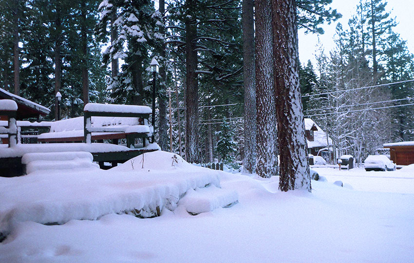
The original publish date of this article was March 22, 2017, which was a couple of days after the spring equinox. On that day, there were four foot tall snowbanks surrounding my house. And, it had been raining and snowing for the previous two days.
Tahoe in the spring is paradise.
The thing about paradise, however, is that doesn’t care about how long it took you to get there or what you planned to do when you arrived.
As if I hadn’t already written enough about spring hiking and backpacking at Lake Tahoe, here are some additional thoughts about the matter…
Pacific Crest Trail Hikers as the Canaries in the Coalmine
One group of higher profile travelers surprised by the increased snowpack of the 2015/16 winter at Lake Tahoe were Pacific Crest Trail thru-hikers.
For three years during the drought, I worked at a backpacking store called Lake of the Sky Outfitters. It’s since closed permanently. At the time, though, it was an invaluable resource in South Tahoe for PCT hikers.
During the years it was open, we noticed that PCTers began arriving in South Lake Tahoe progressively earlier each season. We knew this because we loosely kept track of them as they came through the store. At first, it was a relatively easy task to handle. But by 2016, it was nearly unmanageable due to the sheer volume of hikers passing through on a daily basis all summer long.
Any ideas as to why that was?
I’ll give you a hint … snowpack and social media.
A PCT hiker typically arrives at Echo Summit in South Lake Tahoe, by mid-June. This is based on a PCT thru-hike start date of mid to late April. Echo Summit is roughly the 1,100 mile marker of the PCT as you travel north.
The traditional date(s) for most northbound PCT hikers to begin their thru-hike is mid to late April.
The following list shows the date of the first PCT thru-hikers to arrive at the store between the years 2013 and 2016.
- June 5, 2013 (following a drought winter)
- May 31, 2014 (following a drought winter)
- May 21, 2015 (following a drought winter)
- *May 18, 2016 (following a normal winter)
*Some PCT hikers arrived earlier than May 18. However, we didn’t record those dates. At that point, we didn’t consider those ultra-early hikers as the “first” PCTers of the season. Those who arrived prior to May 18 that season had skipped large sections of the Southern Sierra to avoid the snow.
The main reason for the earlier start dates is due to those California drought years.
During the 2011-2015 drought years, PCTers began broadcasting their progress, trail conditions, weather reports, and snowpack levels via social media, blogs, and trail apps. Exposed to this wealth of trail data, subsequent PCT hikers (2015-2016) began to alter their approach to hiking.
In 2015, PCTers reasoned that with lower snowpack levels they could begin their thru-hike earlier in the spring. This would help to minimize heat exposure during the southern portion of the PCT. It would also allow them more time to reach the Canadian border before early fall snowstorms.
This is a great theory. However, it doesn’t take into account the volatility of spring weather in the Sierra Nevada Mountains. And much of this is evident in the southern half of the “range of light.”
This enables a PCTer to travel through the desert sections in relatively cooler temperatures. Then, they will arrive in the Southern Sierra Nevada after most of the late season snowstorms have passed. The latter reason, in my opinion, being the more critical of the two.

You wouldn’t think a couple of weeks would make a huge difference. But many PCTers were caught in punishing (and dangerous!) spring snowstorms in the Southern Sierra during the 2015 Pacific Crest Trail season.
Why?
Because they began their thru-hikes much earlier than usual. Many hikers actually started in the middle of March. That’s nearly a month earlier than the traditional start date!
Sure, those PCT hikers made it through the desert quickly and under cooler circumstances. But then they had to deal with all of those (typical) late spring snowstorms. As a result, many of their “thru-hikes” became flip-flops and patchwork hikes.
In order to avoid snow in the higher elevations a lot of the hikers spent a lot of effort in skipping around.
In 2016, the process of searching for snow-free sections of the PCT became the norm for many of the front-runners. Once this wave of fair-weather hikers passed through, though, there was a lull in the action.
The next group of PCTers to arrive in South Tahoe did so later than a typical season. Their slower progress was due to them taking the time to safely negotiate the snow and swollen water crossings.
I can’t blame people for wanting to be safe in the backcountry by avoiding treacherous sections. However, there’s a reason the start date for a traditional thru-hike of the PCT is in mid-April. Regardless of the previous winter’s snowpack, storms always hit the Sierra Nevada Mountains in late spring.
And always keep in mind that usually the shortest way home is the longest way around.
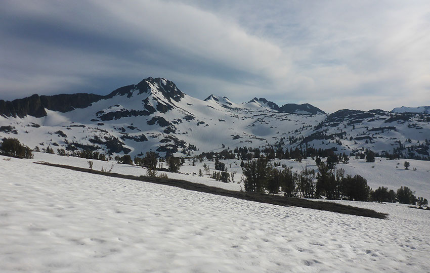
In the following video, I’m celebrating my 100th day of cross-country skiing for the 2020-21 winter (on May 2nd). Again, more reinforcement of the fact that even in a low snow winter, which 2020-21 was, snow persists in the higher elevations.
One anecdote about this specific day on which I xc skied is that as my friend and I returned to the trailhead, I saw a trail runner standing near the edge of the parking lot. Instead of starting her run, however, she stepped aside and let us pass. I found this very courteous because there was, literally, snow leading all the way to the edge of the parking lot. And since we were descending the one foot wide snow-packed trail, it just would’ve been dangerous to try and pass on the trail.
But as we were carrying our skis back to my Jeep, my friend and I chuckled to each other because we saw the trail runner get in her car and drive away. Unless you see with your own eyes the amount of snow in the higher elevations, it’s just really challenging to comprehend.
Thanks for the invaluable advice, can’t wait to hit the trails safely! 🥾🌼
I know it is a bit early yet for predictions, but with the record snow this year what do you think the trails will be like June 16 weekend for the Tahoe 200 ultramarathon? I’m rather concerned about safety during the race for anyone without snow running experience (or maybe even those with experience), but maybe it will just be extra slow going for the runners? I’m curious as to your thoughts. The race is currently set to go from Heavenly ski resort to past Armstrong Pass and then back to Heavenly followed by an out and back mostly on the TRT to a bit past Tahoe City and back again. Total of 205 miles or so.
Hey Pat!
Thanks so much for reaching out 🙂
Yes, this spring/early summer I think is going to be really challenging for trail running due to all of the snow. I have a friend who’s planning to run the Broken Arrow Skyrace at Palisades during that same weekend and he’s really concerned that most of it is going to be across snow. He said he’s run it before and it’s pretty typical to encounter snow, but not to the extent that this year is going to be.
I’m sure there will be good stretches of relatively dry land for the Tahoe 200, particularly on the east shore, but I don’t know. I think the snowpack is going to be really persistent this year based on the fact that we’ve just had one storm after another and there’s just such a high volume sitting out there. Basically, the snow has been so cold for so long that I think it’s going to take some time for it all to melt. Even with the past couple of days of sunshine and 40 degree temperatures, for example, the snow in my yard is total concrete everywhere other than in direct sunlight.
Honestly, I plan to be backcountry cross-country skiing well into May this year, if not into June. And then I’m actually to try and ski at least once a month for the rest of the year, just to say I did it 🙂 And I think this is the year to do it.
Not sure if any of that helps, but that’s my two cents. I think the snowpack is going to be significant at higher elevations and on shaded aspects well into June this year.
Let me know if you have other questions or want clarification on anything I said. Thanks again for reaching out!
Great article Jared, thank you. You mention that everyone has a tale of a near-freezing night on the trail. Mine was on the Appalachian Trail, mid-June, in my thin summer bag on a 32 degree (plus a strong wind chill) night! Had to get up, involuntarily shivering HARD, and build a wood fire (which if I understand, is illegal in Desolation Wilderness). Just like the hikers you mention coming back down out of the hills, once I got home to CA, I, too, bought a “never again!” sleeping bag that is rated to zero degrees F or something. It’s deluxe, super warm, yes was expensive, and I use it exclusively now, regardless of the season. My brief Desolation Wilderness hike is planned for late May this year. My thinking currently is, there’s more wisdom than shame, in turning around, or not going at all, if I encounter conditions beyond my abilities / equipment.
Hey Jon,
Thanks so much for the great story! A bad experience can definitely jar a person out of their routine (or belief that “it” could never happen to them:) ). I’ve had more than one near-misses as far as pushing myself/my gear a little too far. Thankfully for those of us paying attention and willing to learn from our setbacks, we can gain a little wisdom and humility. I do like knowing that no matter what I have planned, nature has its own process that we must adapt to. Yeah, and camp fires are definitely out of the question for Desolation Wilderness.
Anyway, thanks again for contributing to the conversation! I appreciate you taking the time to read my work 🙂
Hello,
Thank you for this detailed article/post. How well marked is PCT in spring? My 16 year old son and his friend are thinking of hiking and backpacking overnight the section of the trail from sugar bowl to squaw valley over memorial day weekend. Neither one has ever hiked this part of the trail specifically. They plan to bring snow shoes and have warm winter clothing packed. But with a good portion of the trail likely covered in snow I’m concerned it will still be difficult to navigate. Any thoughts on how to help them prepare?
Hey Melissa,
Thanks for reaching out! Yeah, I would assume that this route would mostly be covered in snow right now and challenging to navigate. I haven’t personally hiked this specific section – it’s on my to-do list 🙂 – but friends of mine who live on the north shore have (it is an iconic section) and I’ve hiked nearby (Mt. Judah Loop multiple times). Essentially, though, that whole section is high elevation and there’s no way out of the backcountry from it except to hike all the way to Squaw or return to the trailhead in which they started. Also, there are very few trail markers anywhere in Tahoe (even on the PCT they’re far and few), so if it’s new terrain to them and they aren’t experienced backcountry travelers (particularly in snow conditions), I would discourage them from hiking this route so early in the season. On top of that, there’s always the concern for loose-wet avalanches when hiking high elevation across snow on hot/sunny days late in the spring. And we still have the whole coronavirus thing going on so if, for whatever reason, your son and his friend need to be extracted from the backcountry by search and rescue, it puts pressure on the first responder and medical caregiver system.
At this point in the season, I’d recommend something lower in elevation and with better options for self-extraction (i.e. more trails to leave the backcountry in case things aren’t playing out as expected or if someone needs to rescue them). Possibly the Tahoe Rim Trail section from Tahoe City to Brockway Summit (SR 267) would be a better option. It’s of a similar length, but at a much lower elevation. Clearly, it doesn’t have the same views as the Sugar Bowl to Squaw hike, but it would be safer and probably a lot drier. Or, backpacking along the Tahoe Rim Trail section between Brockway Summit (SR 267) to Mount Rose Highway (SR 431) would be even more scenic and dry.
Again, I’d discourage them from attempting the Sugarbowl to Squaw hike at this point in the season. Snow is still really prevalent at elevations above 8,000 feet.
Hope that helps! And thanks for reading and getting in touch 🙂
April 17, 2020 – Please note that with the current Coronavirus/COVID-19 pandemic environment we’re facing, traveling in the backcountry is not recommended as it places a potentially unnecessary strain on emergency medical services (that could be focusing on COVID-19). For the time being, use Tahoe Trail Guide for planning purposes while you shelter-in-place. Thank you.