The Tahoe Rim Trail (TRT) is a 165+ mile trail that travels continuously around the mountainous rim of the Lake Tahoe Basin. Hiking the TRT was my first “thru-hike” since completing the Appalachian Trail (AT) back in 1999. I’ve backpacked plenty since the AT, but not for a continuous end-to-end journey of a specific trail.
People often ask, once they learn I thru-hiked the AT, whether or not I’m going to follow up with the Pacific Crest Trail and Continental Divide Trail for the “Triple Crown.”
My usual response is that there’s enough pristine wilderness in the Sierra Nevada Mountains for me.
Support Tahoe Trail Guide with a financial contribution via PayPal (single contribution) or Patreon (reoccurring contributions). Your support of Tahoe Trail Guide is very much appreciated!

I’ve since preferred to hike long short trails (longer than most people care to do, but short enough that you don’t have to set aside six months of time to complete).
I consider the Tahoe Rim Trail a “long short trail,” so in the summer of 2014 I thru-hiked the TRT. I walked from my house in Meyers (west end of South Lake Tahoe) up to Johnson Pass Road, hopped onto the TRT and then hiked around Lake Tahoe via the TRT.
Once I completed the circle and reached the TRT/PCT junction at Johnson Pass Road, I came back down Old Meyers Grade and walked home. This is why I love living at Lake Tahoe. Wilderness is literally right outside my front door.
Although I hiked the entire trail in 10 days, it’s common to complete it in 12-14 days. My work schedule dictated how many days I had to hike and, honestly, sometimes I just like to keep walking.
I was hiking alone for most of this trip and it was during the height of summer (lots of daylight), so I put in longer days. Since the majority of the Tahoe Rim Trail is a traverse, the terrain is favorable for bigger mileage days. That said, the TRT is an excellent beginner thru-hike.
Considerations for Thru-Hiking the Tahoe Rim Trail:
Logistics are relatively easy to handle because South Lake Tahoe is accessible from the east and south shores via Highway 50 at Spooner Summit, State Route 207 (Kingsbury Grade) near Daggett Summit, State Route 89 near Luther Pass, and then again on Highway 50 at Echo Summit.
On the northwest shore you’ll literally walk right past Tahoe City, then further around the north side you’ll cross State Route 267 which gives you access to Kings Beach, and finally on the northeast corner of the TRT you’ll cross State Route 431 (Mount Rose Highway) which affords you access to Incline Village.
Direction in which to Thru-Hike the Tahoe Rim Trail
Many people prefer to begin their TRT thru-hike at Tahoe City and hike in a clockwise direction. The two main reasons for this is:
- the transit center near the trailhead in Tahoe City has a large parking lot
- people like to save Desolation Wilderness for the last leg of their journey
I chose to start at the Echo Summit basically the beginning of Desolation Wilderness) because I live just down the hill and it was the shortest distance from my house to the trail.
Water Sources on the Tahoe Rim Trail
Finding reliable water sources is probably the most challenging aspect of thru-hiking the Tahoe Rim Trail, particularly during a drought year. The summer I hiked was exceptionally dry, so there were 20-25 mile stretches between water sources along the north and east shores. To overcome this problem I schlepped 4-5 liters of water during those long sections.
Full disclosure… I prefer to “dry camp” (staying overnight at a campsite in which there is no water source), so I tend to carry a lot of water anyway. On this trip, a couple of days that manifested by having to carry water for the day’s hike, the evening’s meal, the following breakfast, and then the remaining miles to reach the next water source
The reasons I prefer to dry camp is that the sites I choose usually have less people, bugs, and critters. Camping far from water sources minimizes contamination and impact on them. And, if at all possible I’ll stay on a peak so that I get views of the sunset and sunrise.
Mileage Breakdown for my 2014 thru-hike of the Tahoe Rim Trail:
Please note that these distances were based on the 2013 edition of Tom Harrison’s Lake Tahoe & Tahoe Rim Trail map.
- Day 1 (Monday, June 30): 8.2 TRT miles + 4.25 miles to get to the trailhead = 12.25 total miles.
- Day 2 (Tuesday, July 1): 19.3 TRT miles
- Day 3 (Wednesday, July 2): 15.2 TRT miles
- Day 4 (Thursday, July 3): 15.7 TRT miles + 1 bonus mile in Tahoe City = 16.7 total miles
- Day 5 (Friday, July 4): 15.9 TRT miles
- Day 6 (Saturday, July 5): 20.2 TRT miles
- Day 7 (Sunday, July 6): 24.9 TRT miles
- Day 8 (Monday, July 7): 24.8 TRT miles
- Day 9 (Tuesday, July 8): 19.4 TRT miles
- Day 10 (Wednesday, July 9): 9.3 TRT miles + 4.25 miles to hike home from the trailhead = 13.55 total miles
Total TRT Miles: 172.7 miles
Total Overall Miles: 182.2 miles
Average Miles/Day (overall): 18.22 miles/day
Resources for Thru-Hiking the Tahoe Rim Trail
For more detailed information about traveling along the TRT, visit the Tahoe Rim Trail Association.
Required reading for hiking the TRT is Tim Hauserman’s #ad comprehensive guidebook titled Tahoe Rim Trail: The Official Guide for Hikers, Mountain Bikers and Equestrians #ad. And, the only map you’ll need while hiking the TRT is Tom Harrison’s Lake Tahoe & Tahoe Rim Trail.
For a closer look at and greater understanding of my approach to planning longer backcountry adventures, read my series of articles Planning Your Backcountry Trip.
Lastly, to purchase the Tahoe Rim Trail coloring book titled Color the Tahoe Rim Trail (based on this journey) that I published in 2016, visit the Tahoe Trail Guide store page.
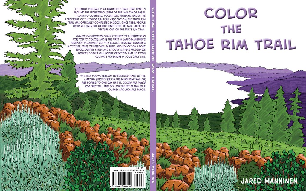
The wraparound cover to my coloring book titled Color the Tahoe Rim Trail. Click the image to see sample pages, a flip-thru video of the book, and ordering options.
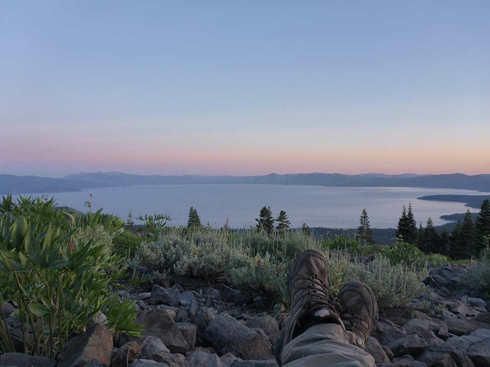
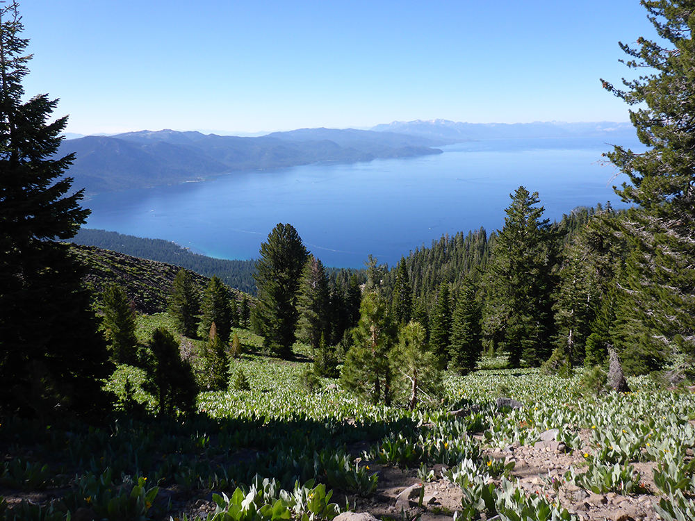
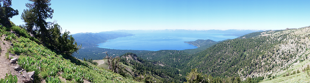
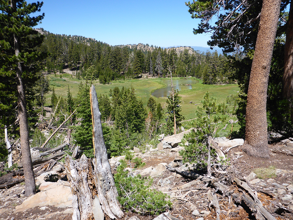
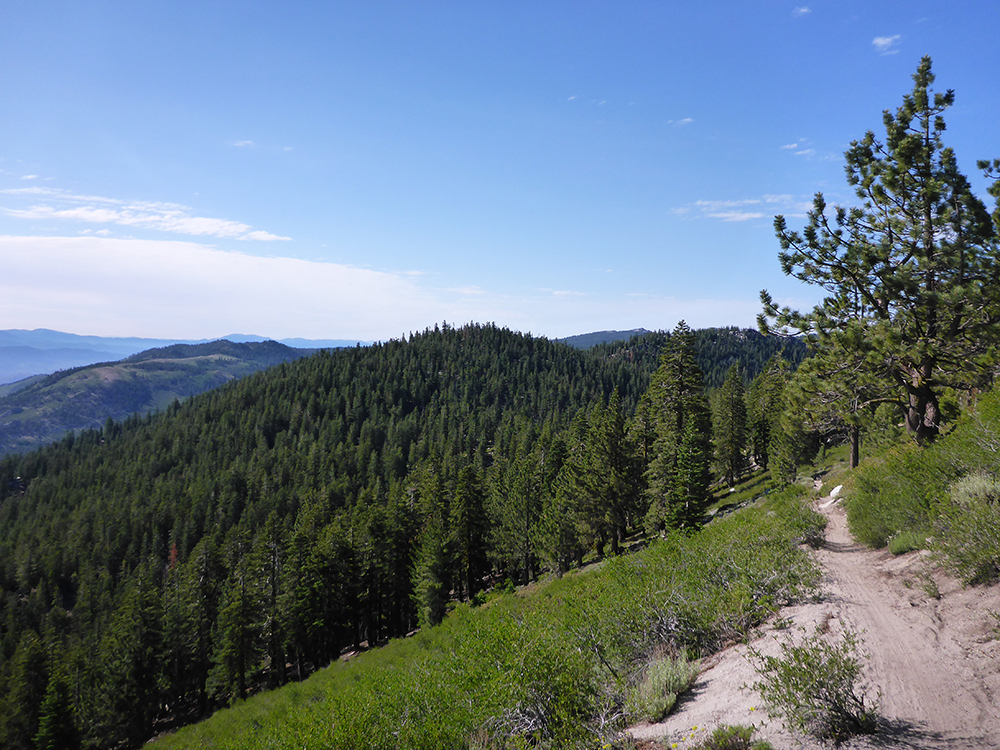
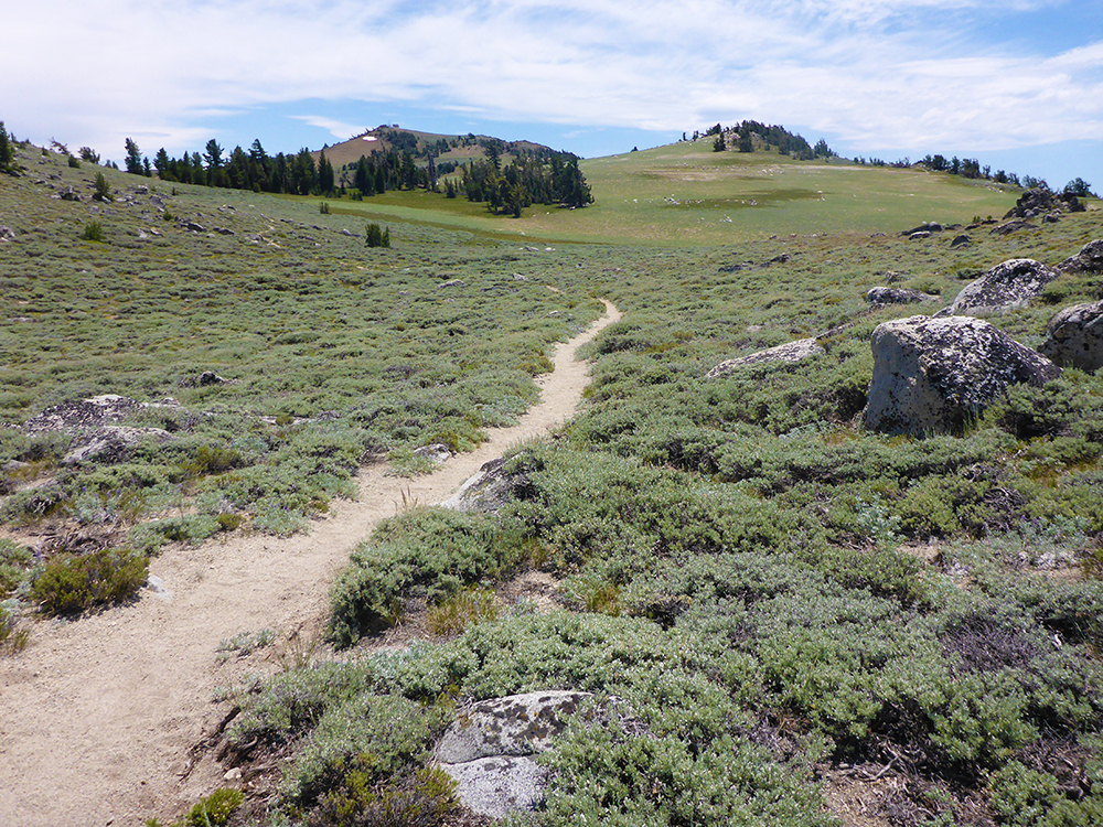
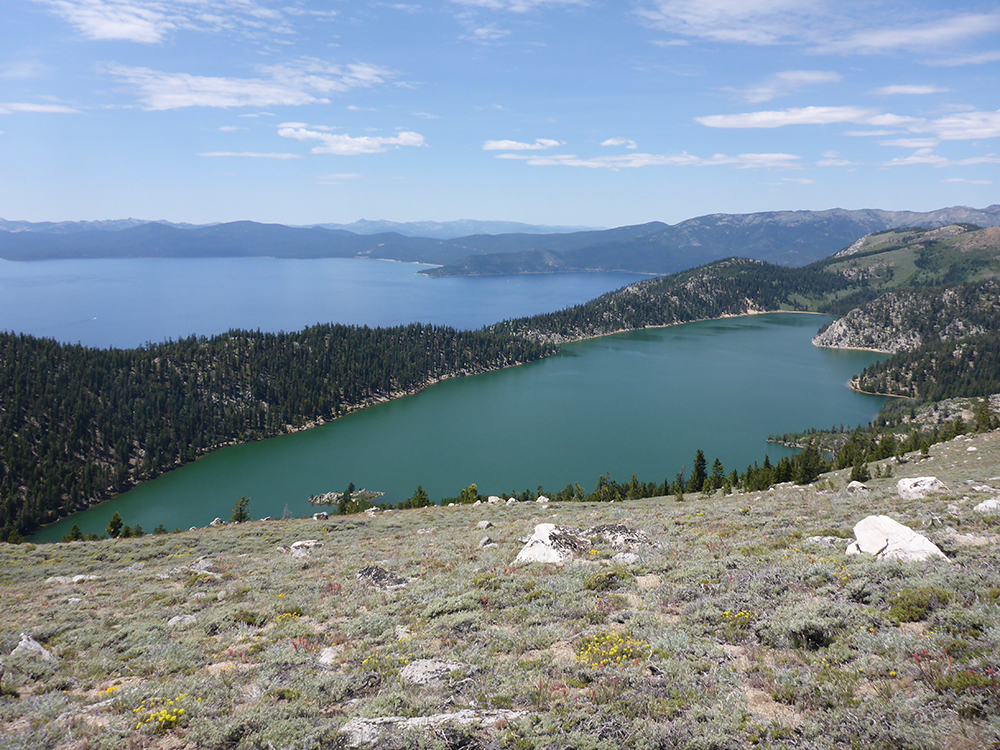
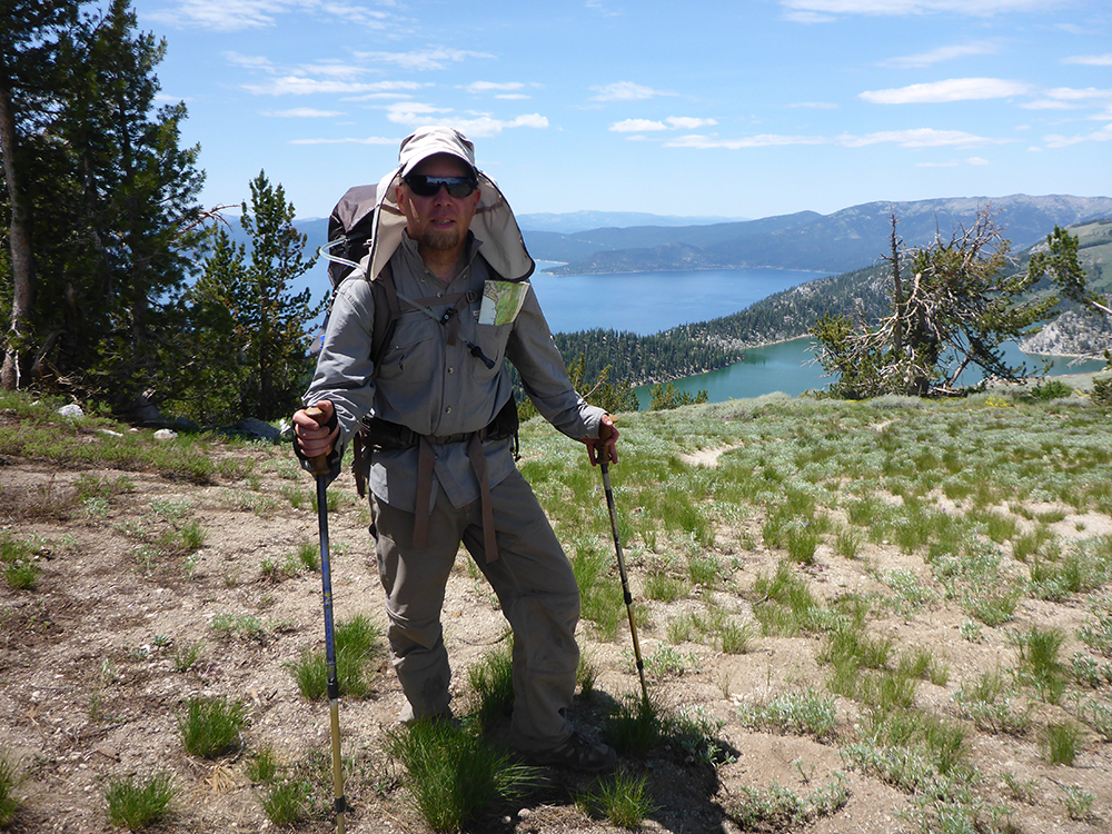
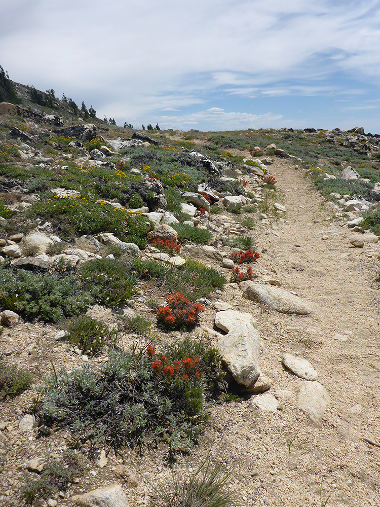
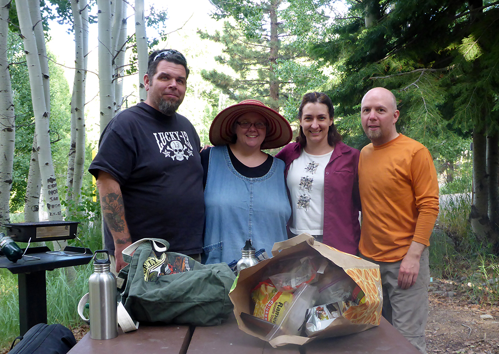
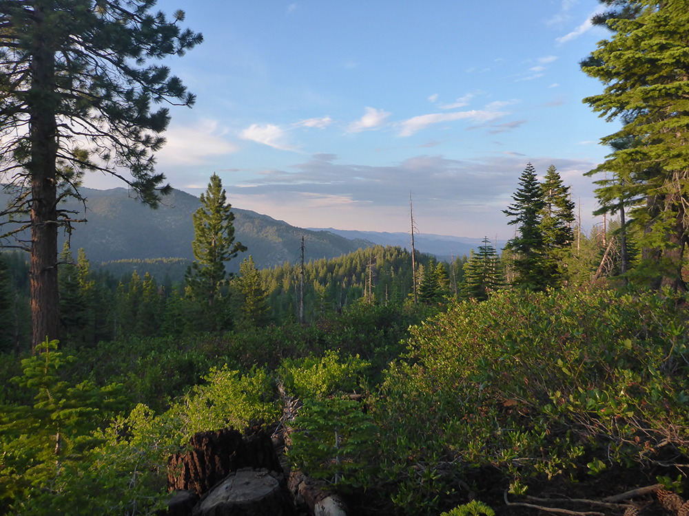
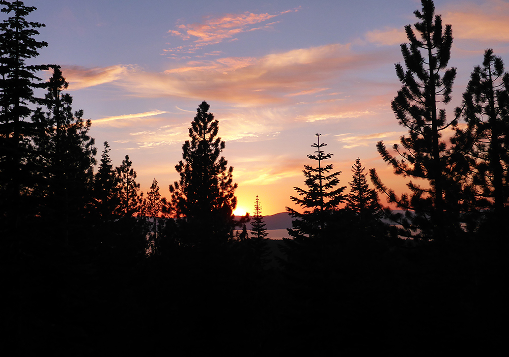
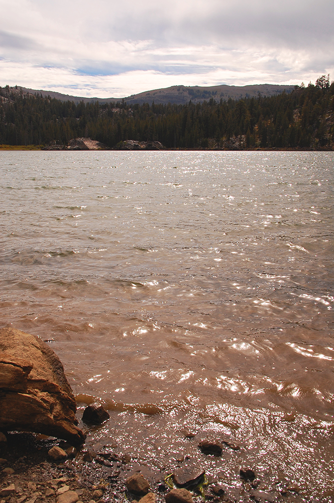
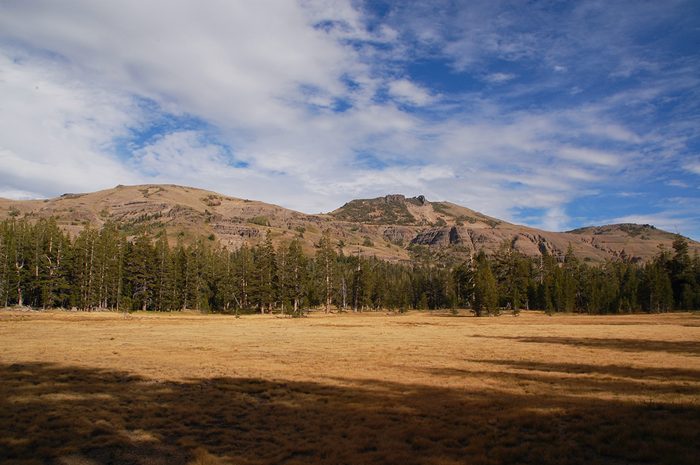
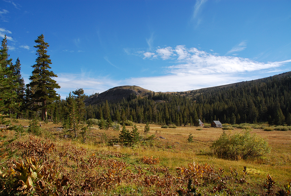
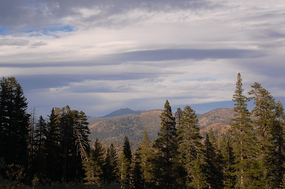
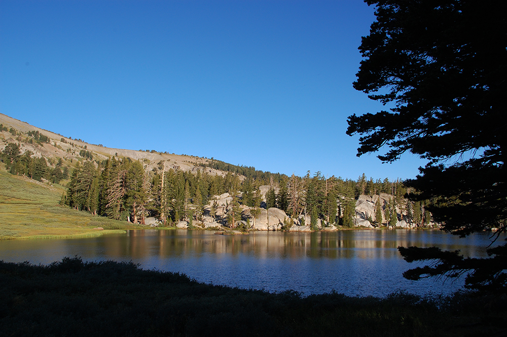
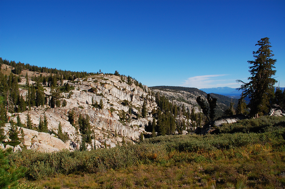
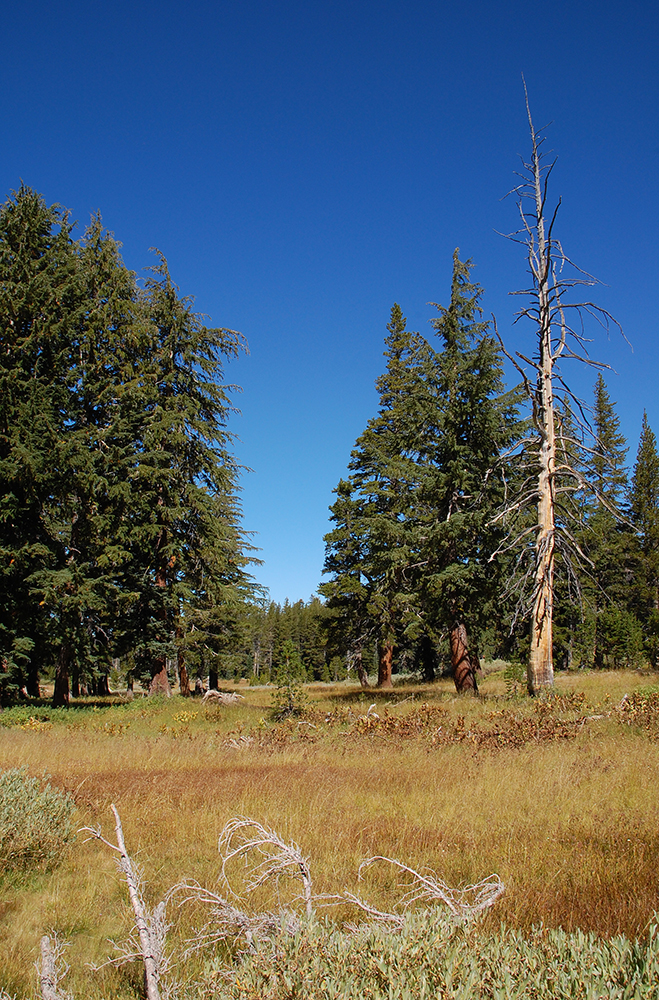
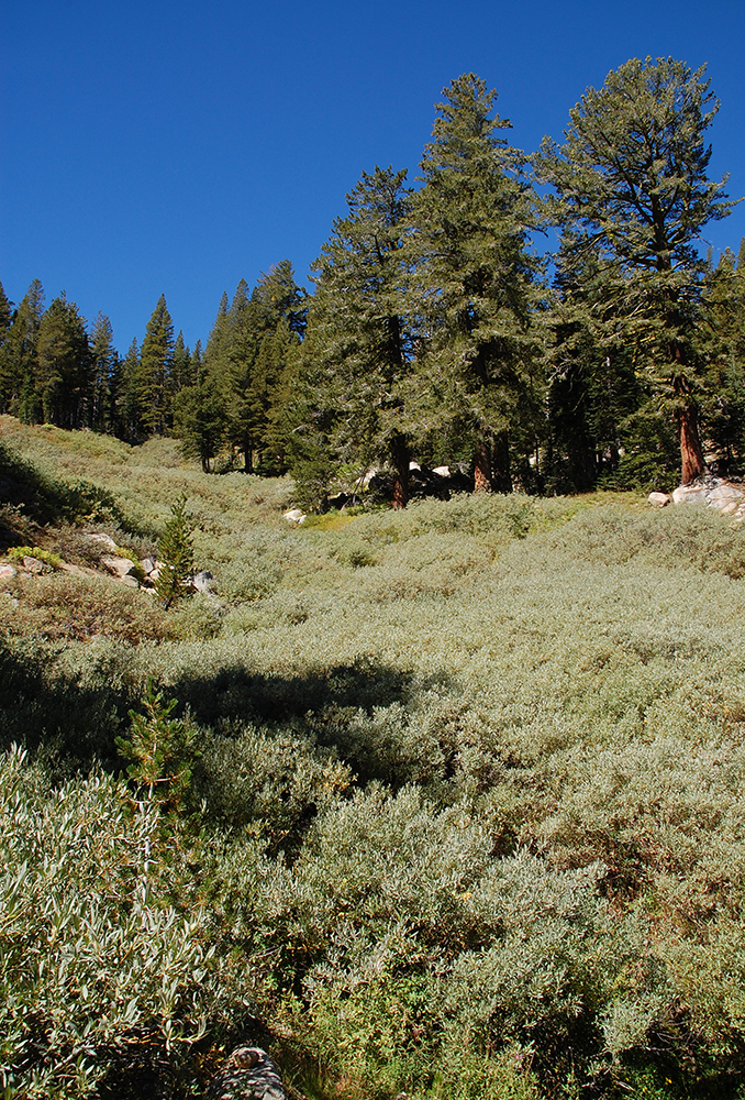
Photo Gallery of my 2014 Thru-Hike of the Tahoe Rim Trail

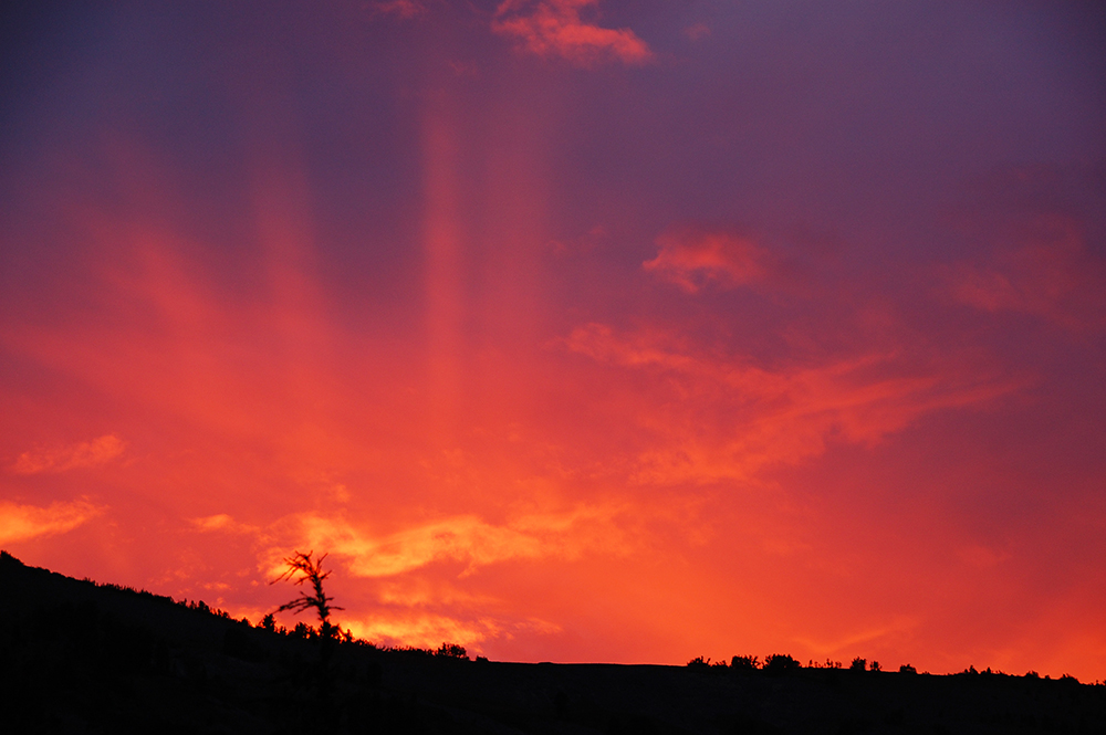
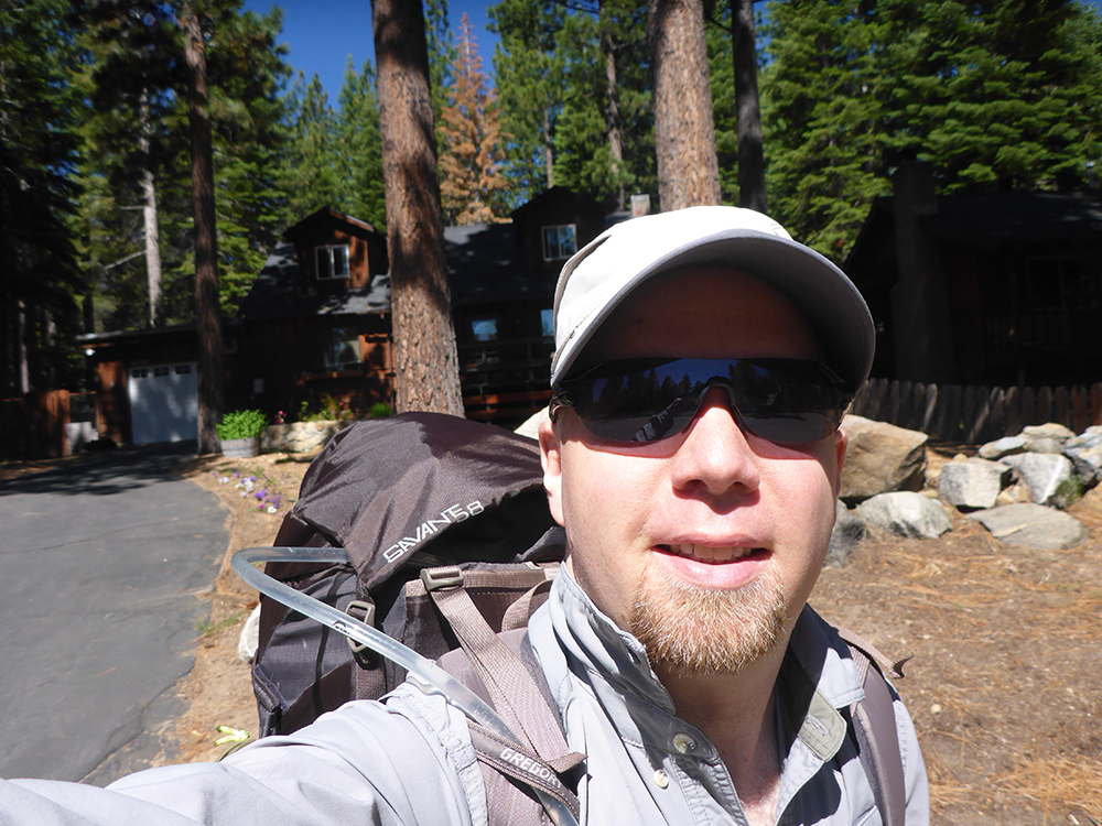
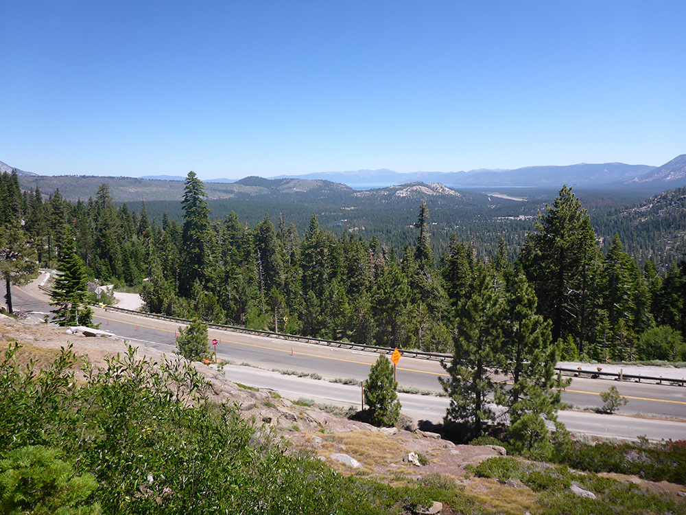
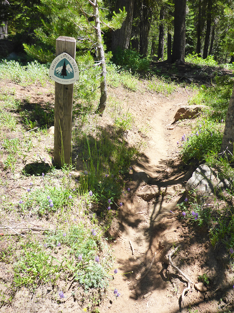
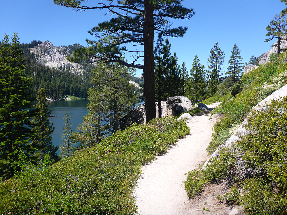
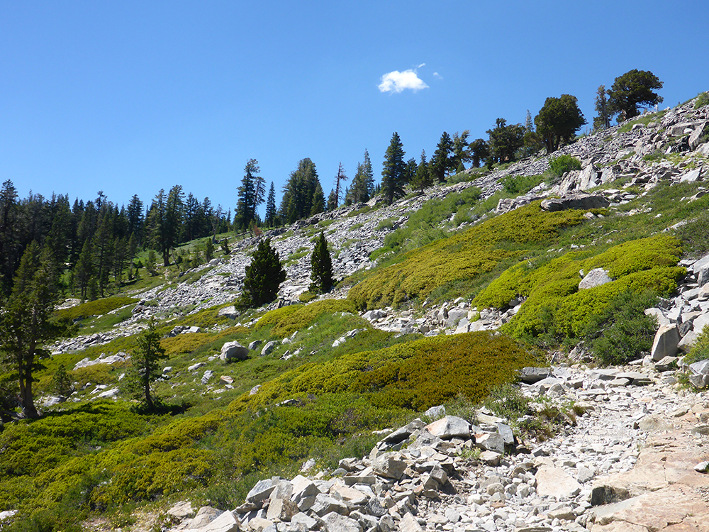
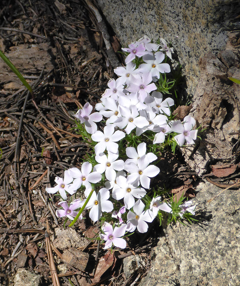
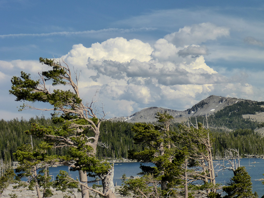
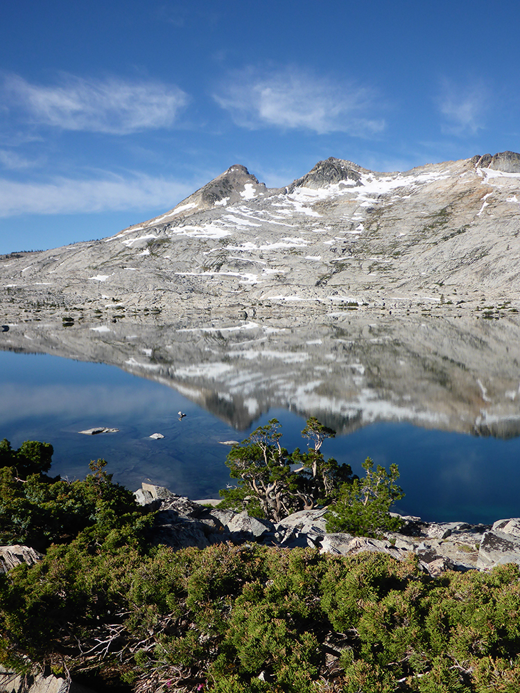
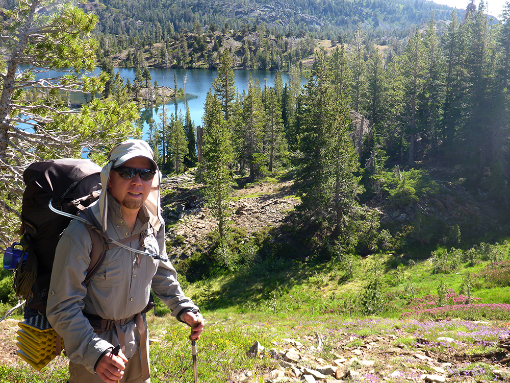
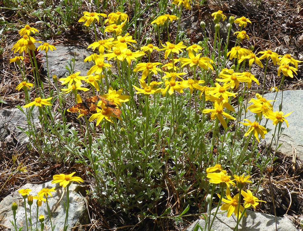
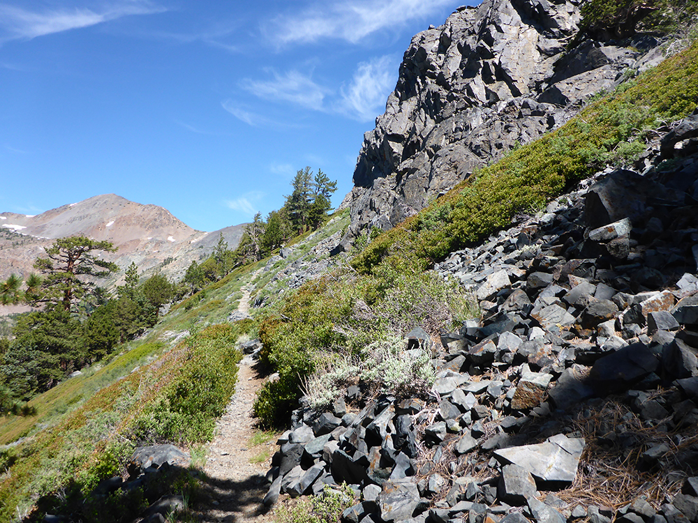
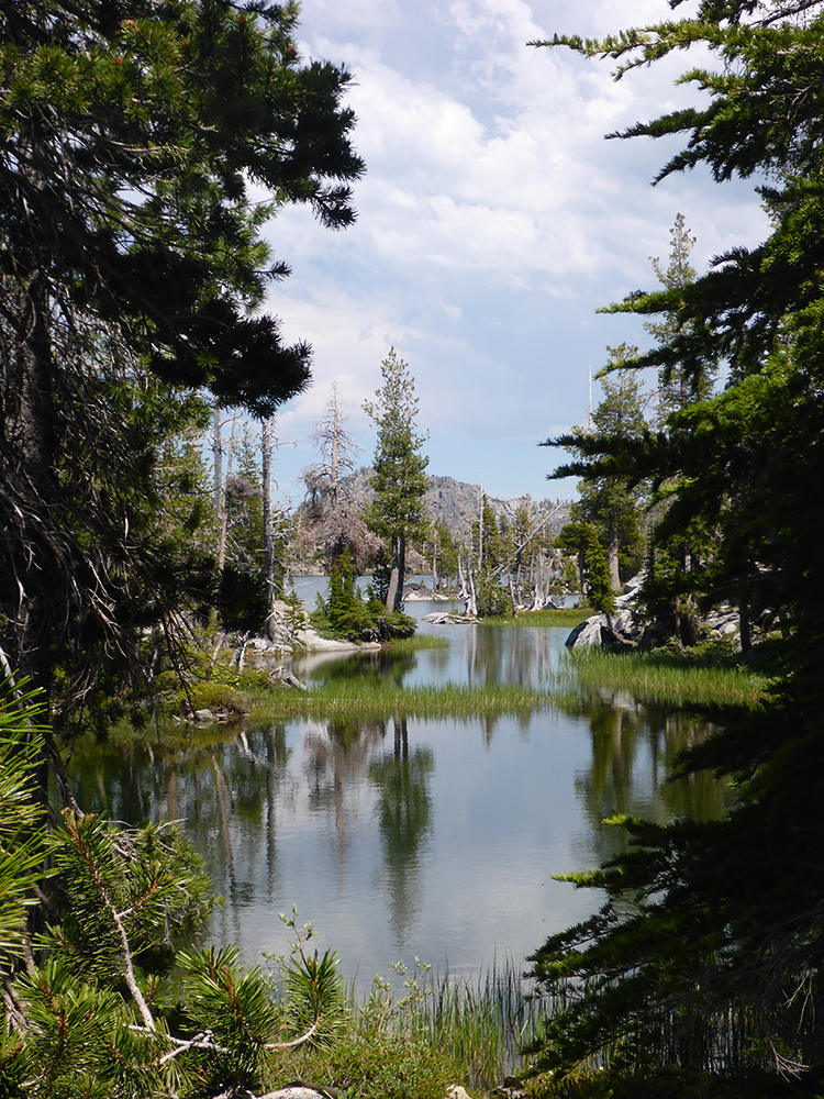
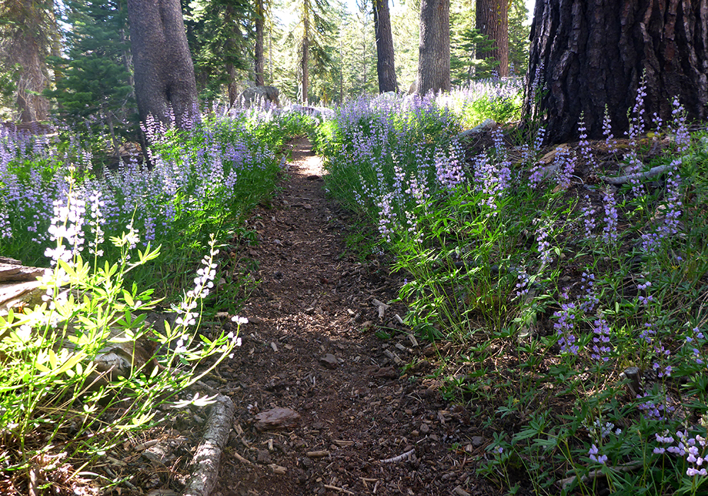
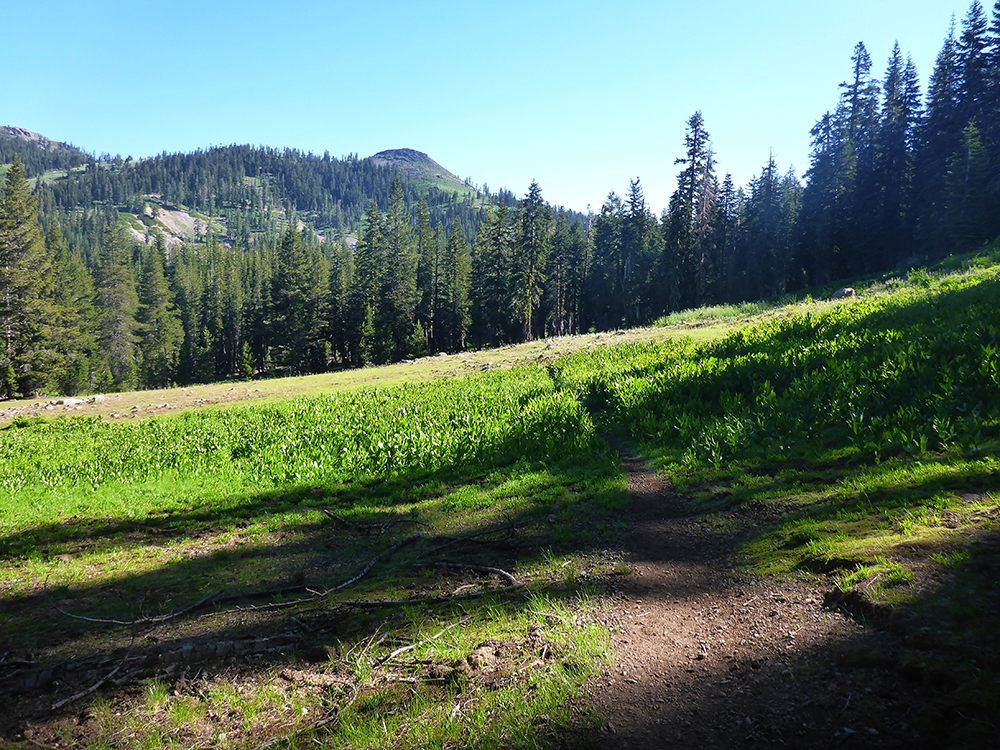
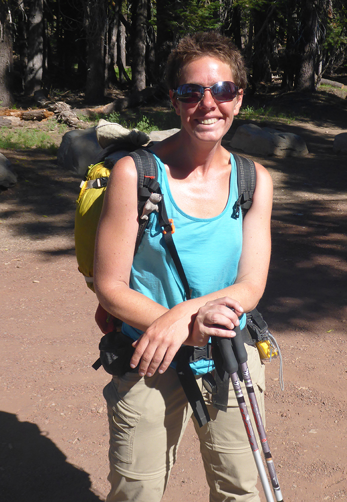
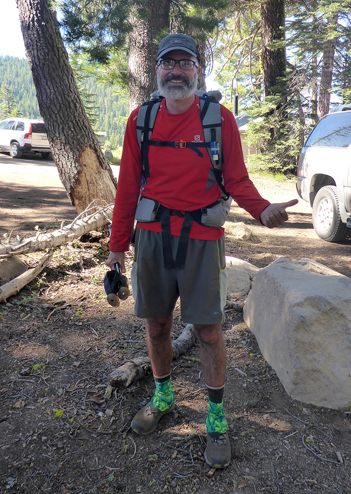
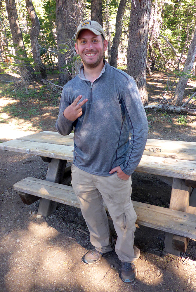
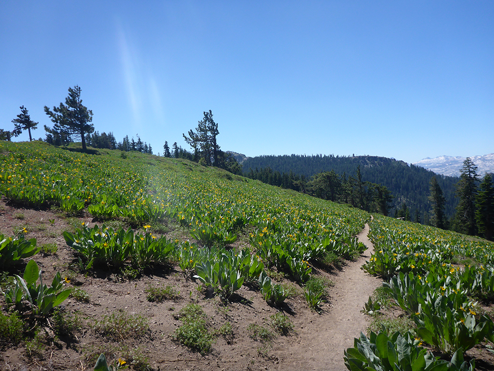
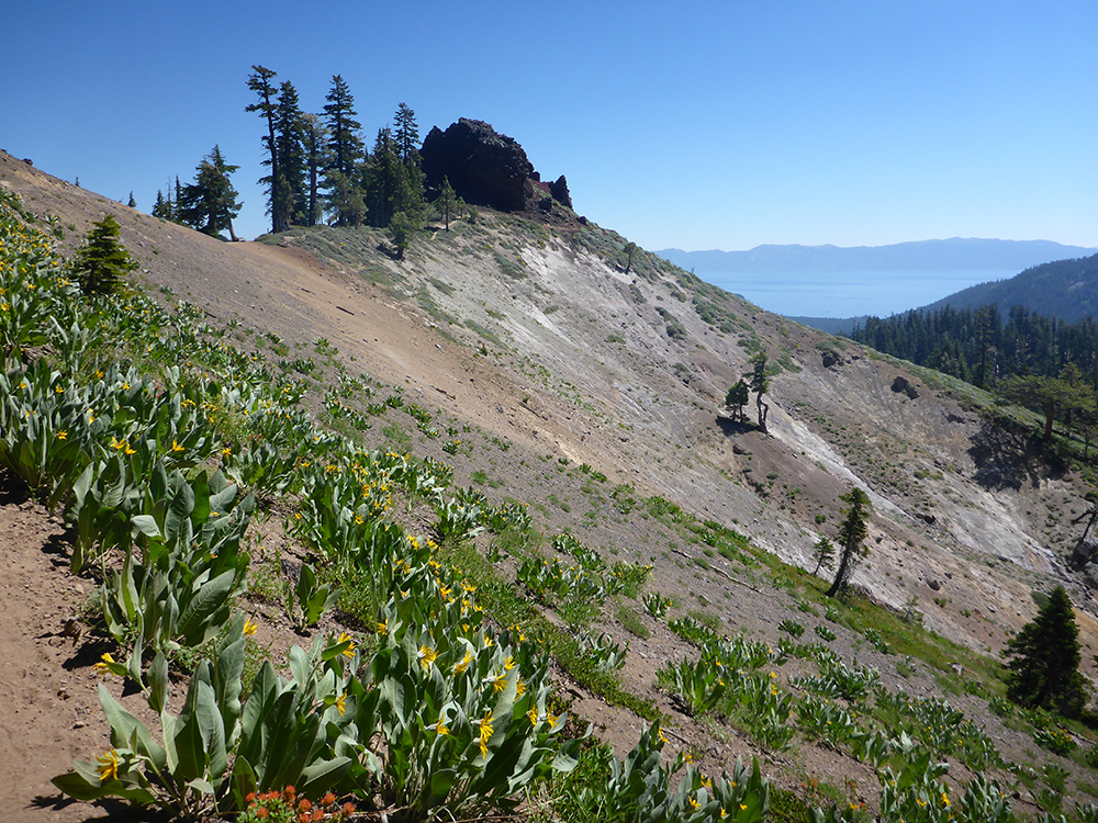
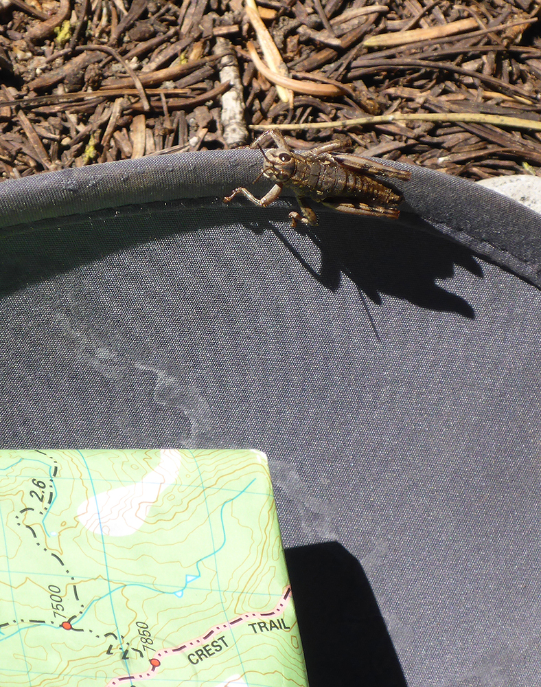
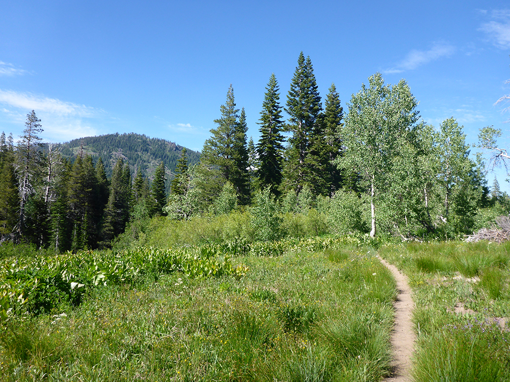
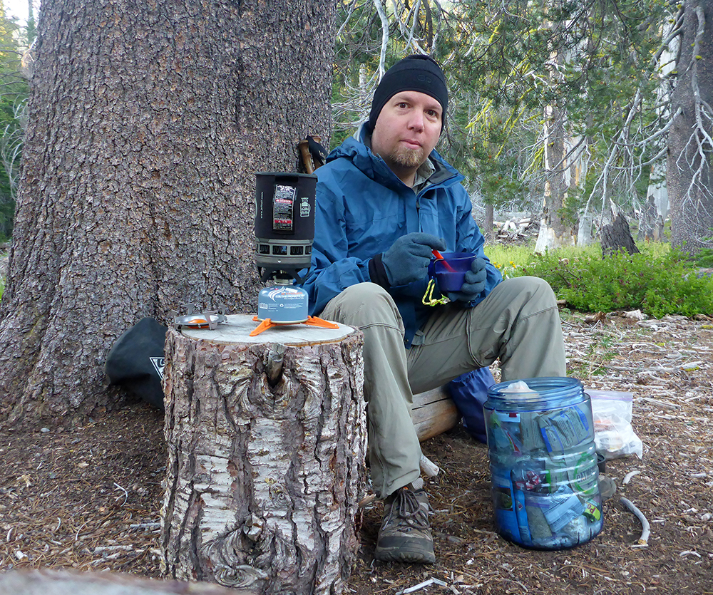
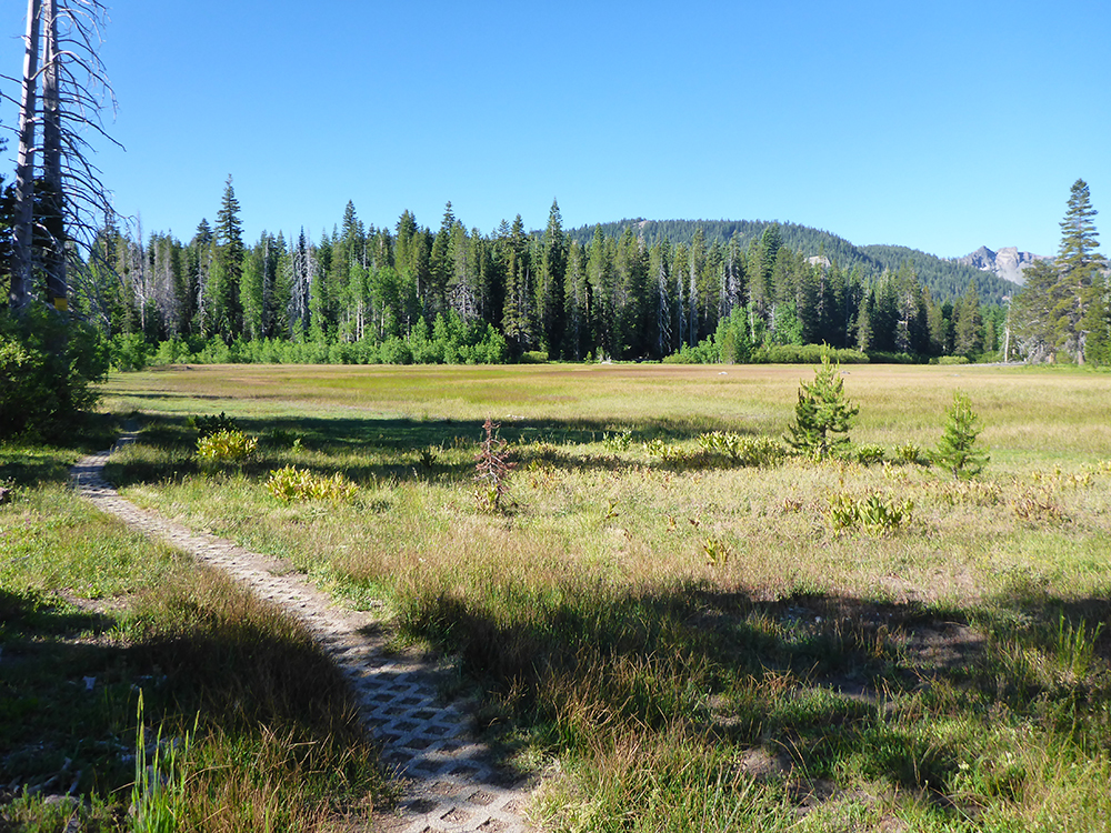
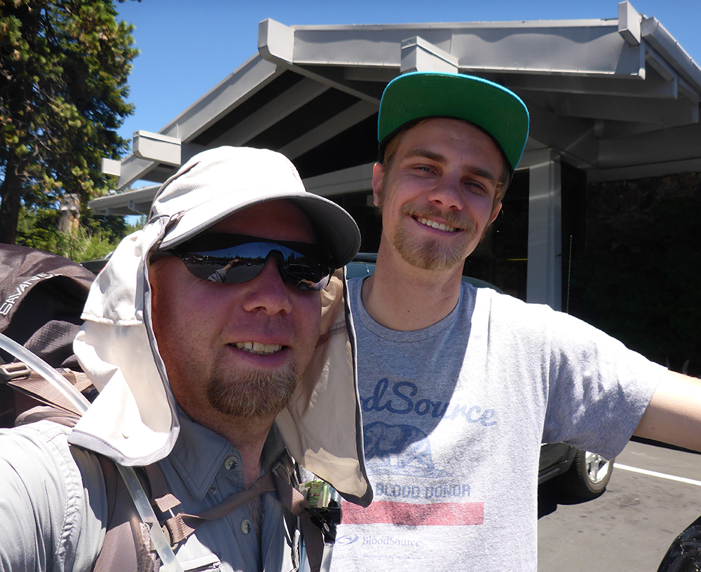
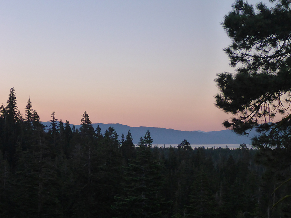
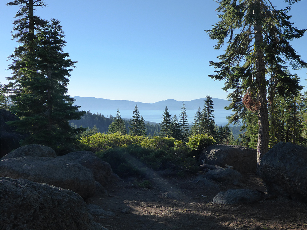
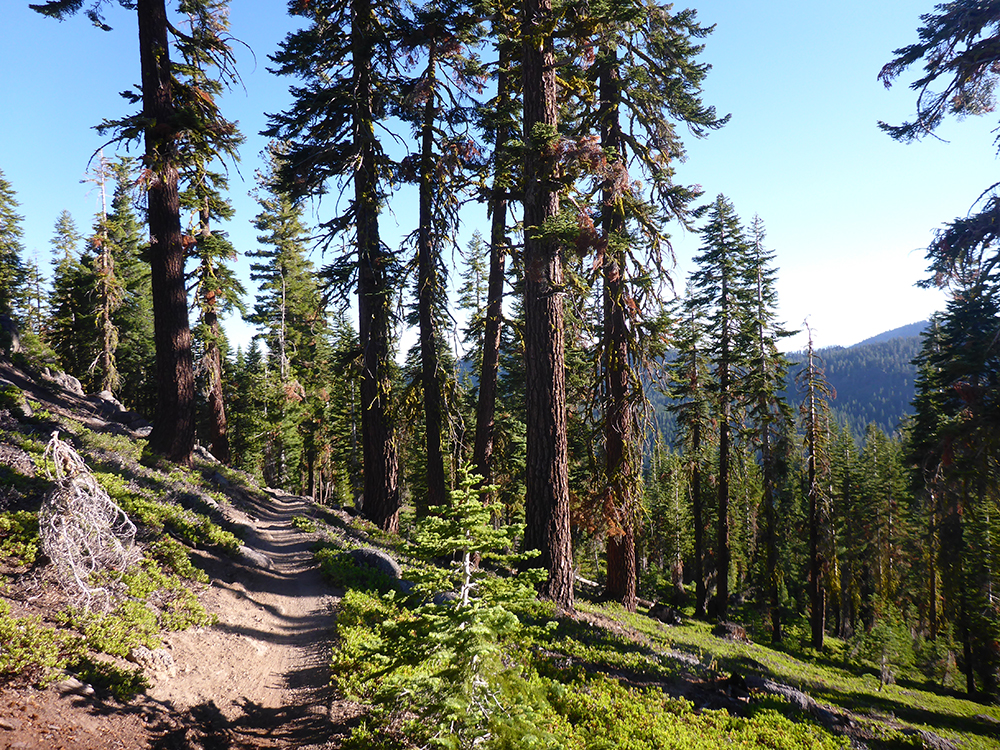
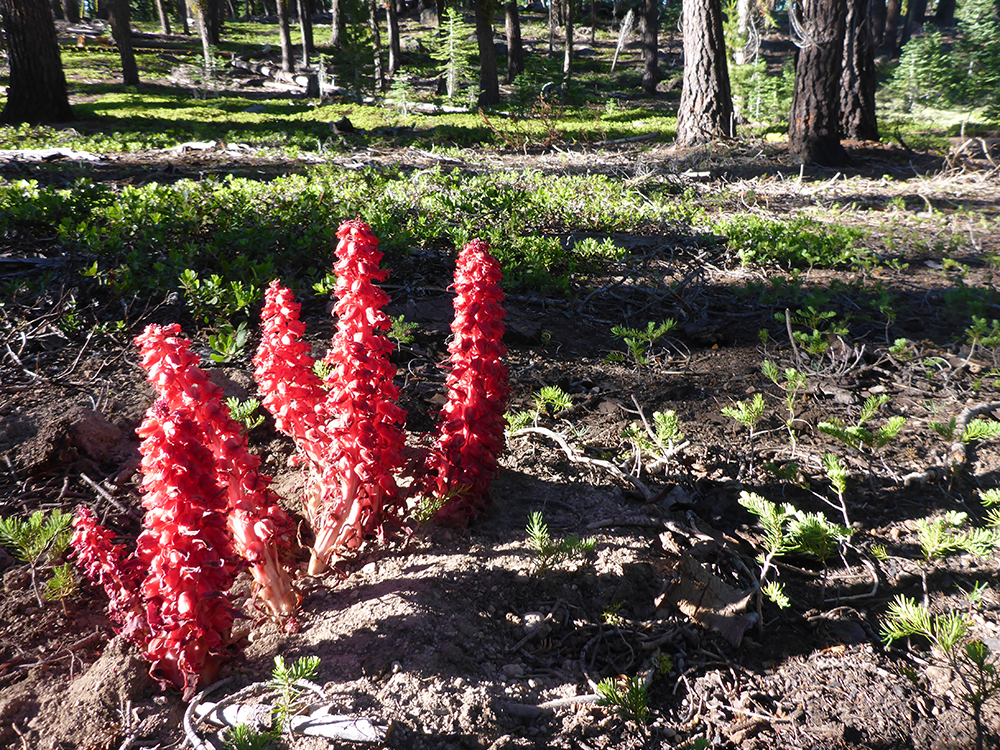
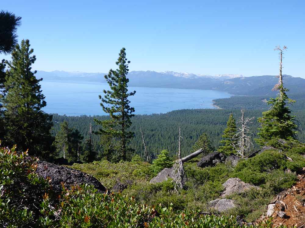
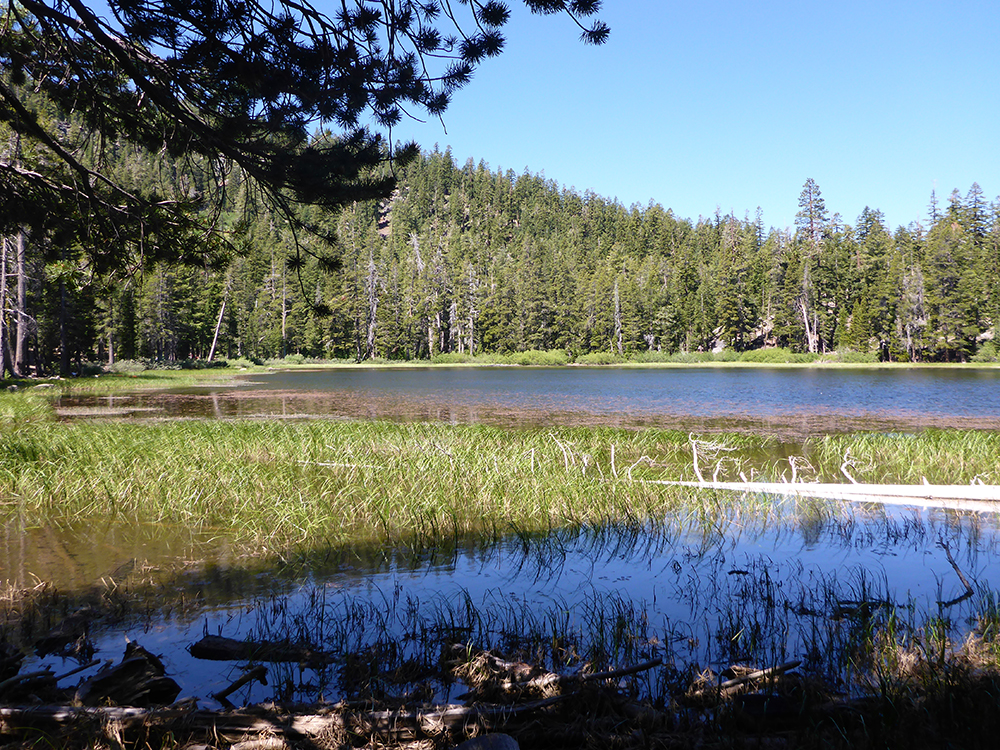
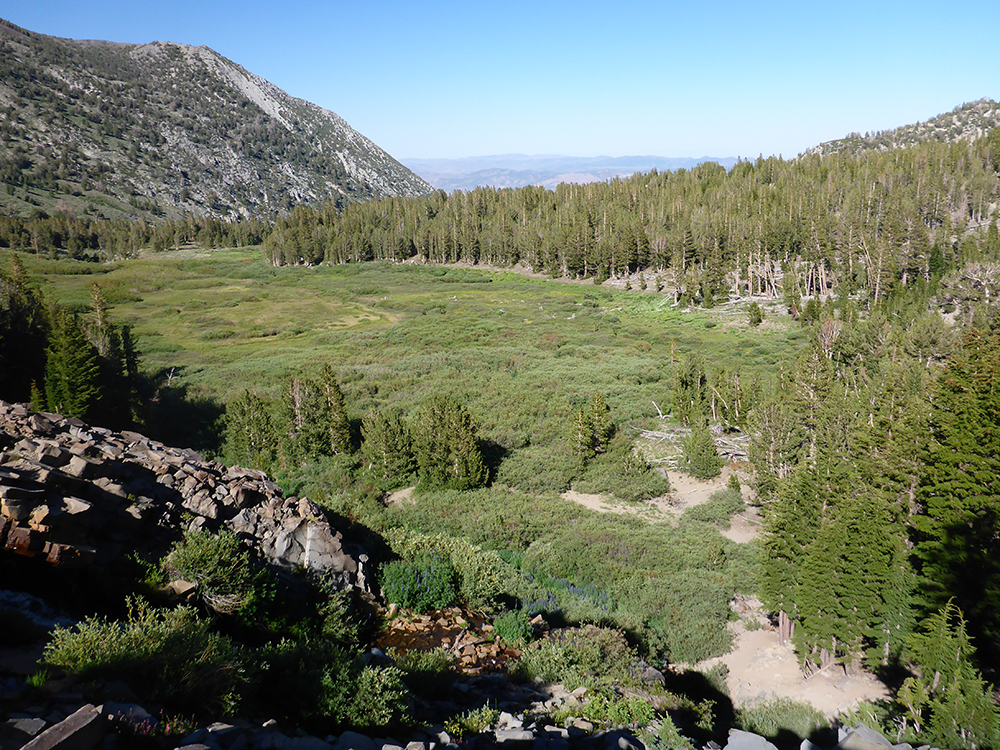
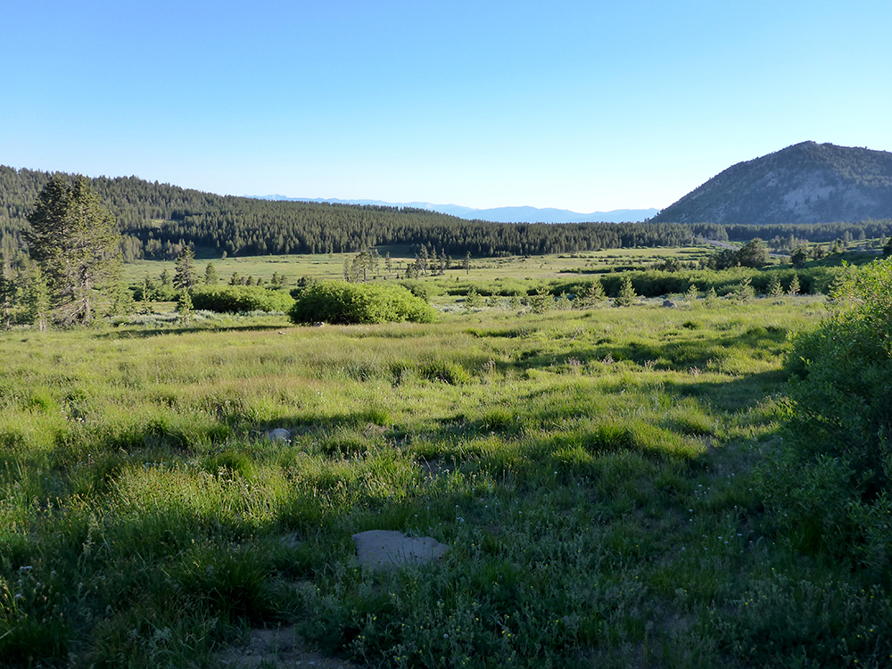
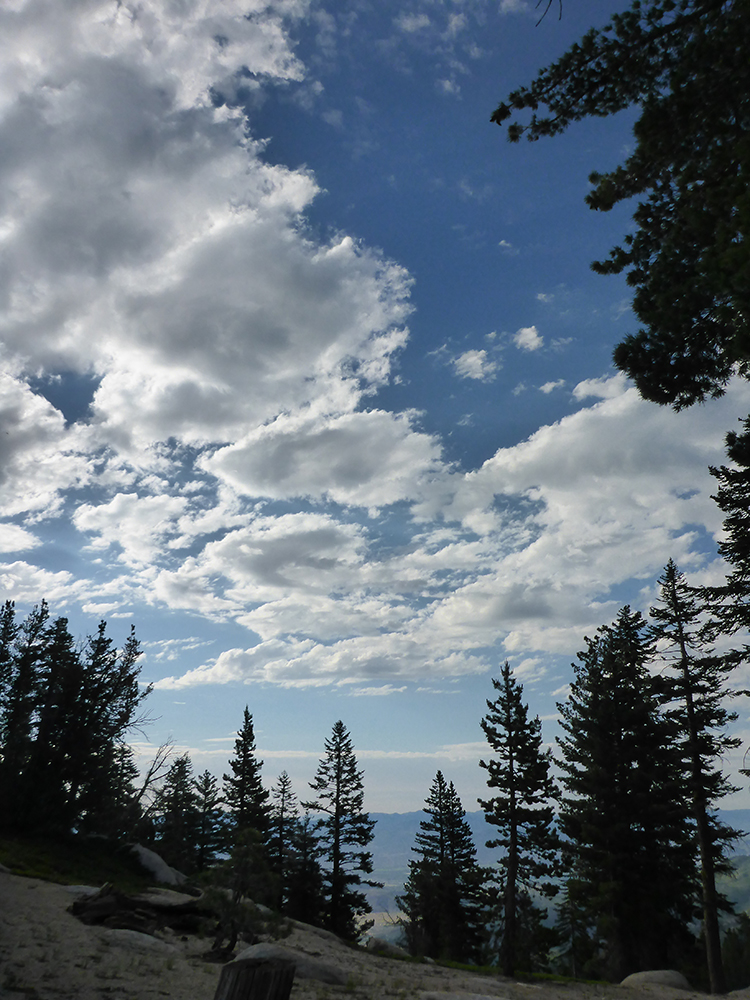
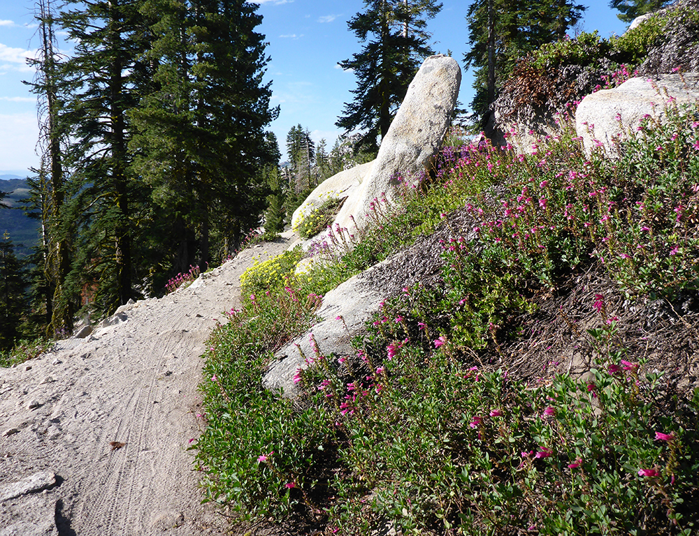
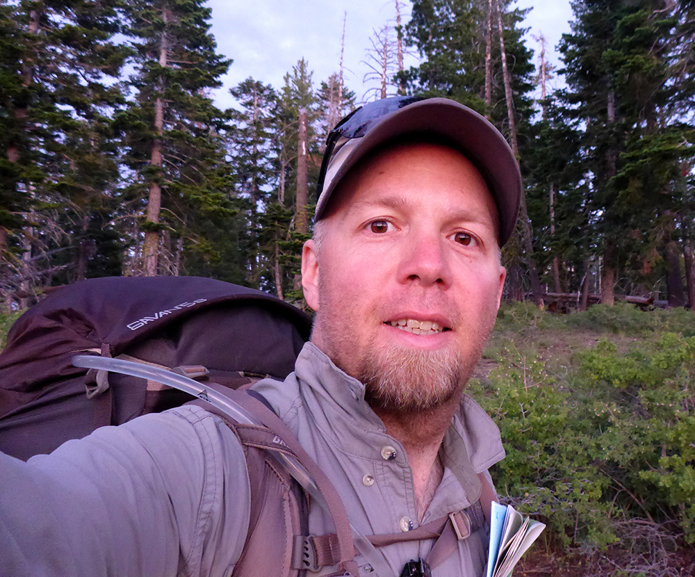
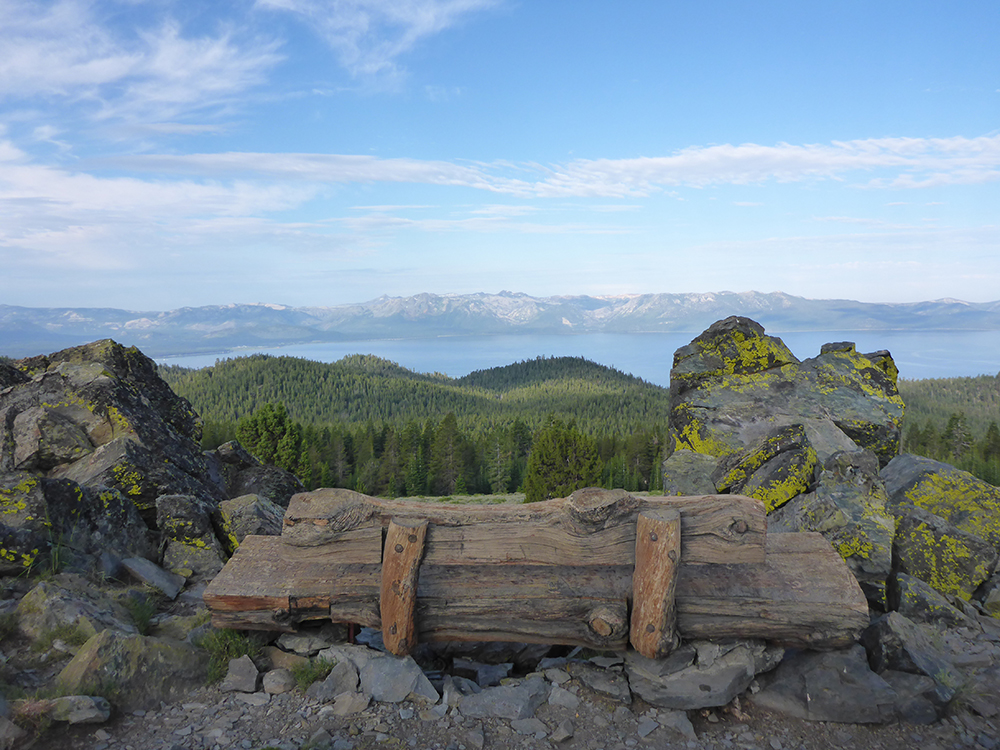
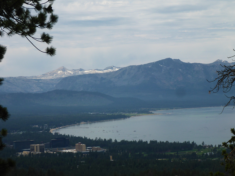
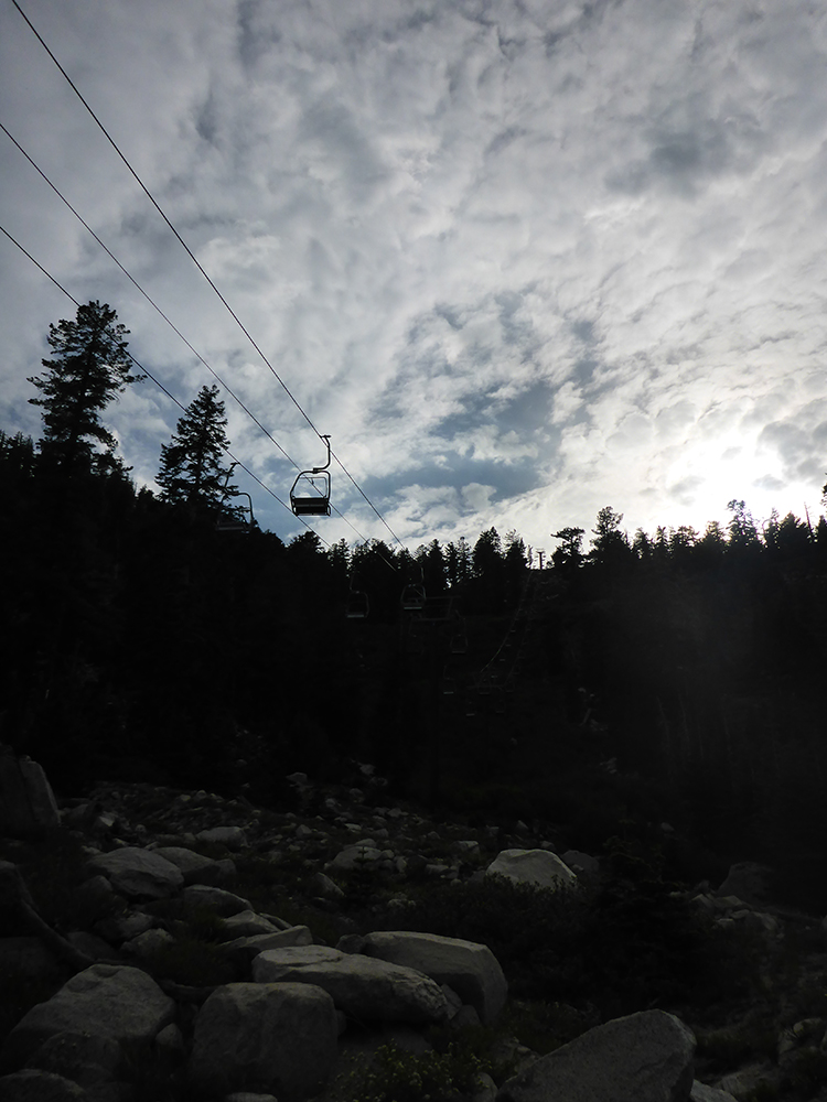
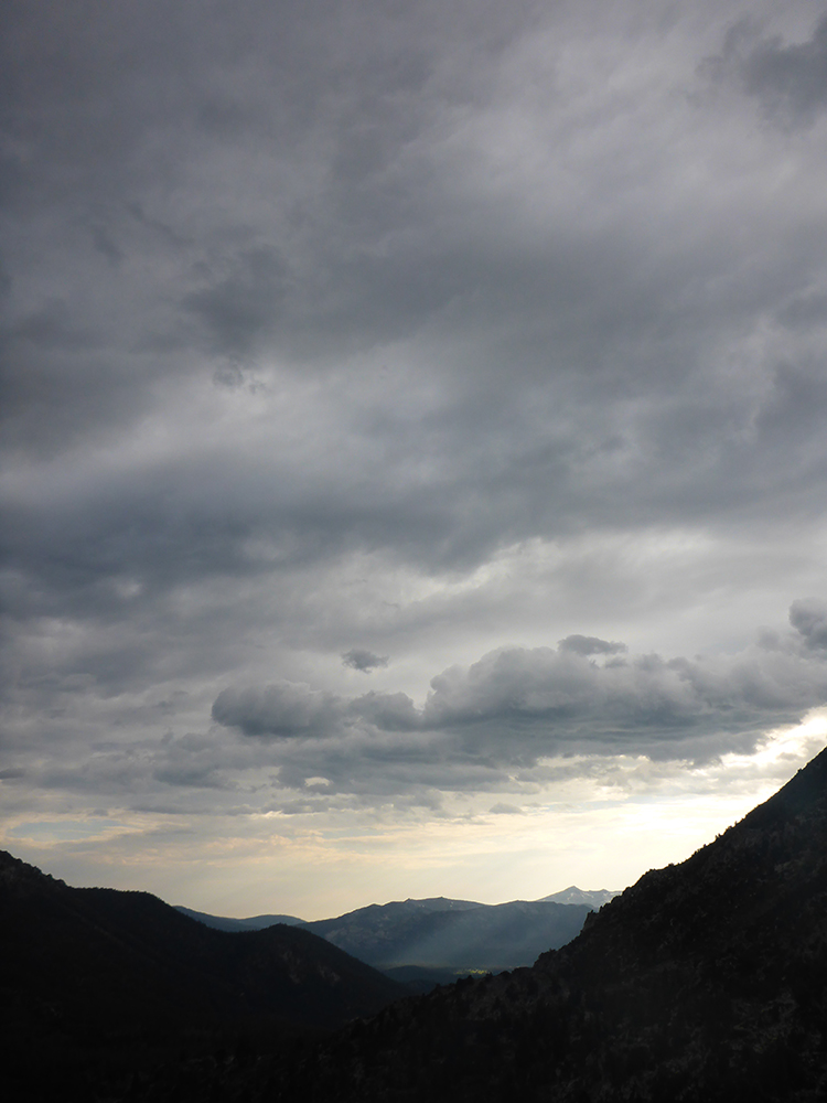
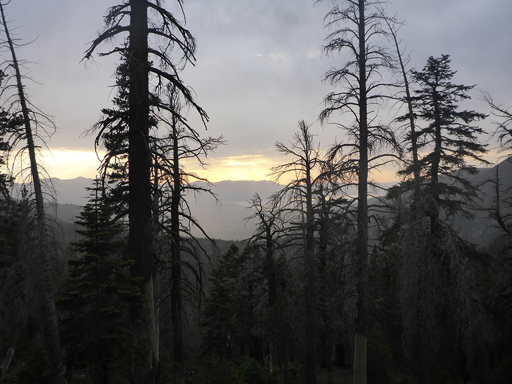
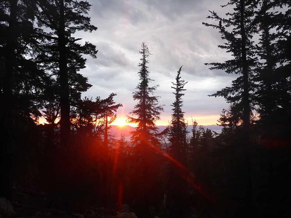
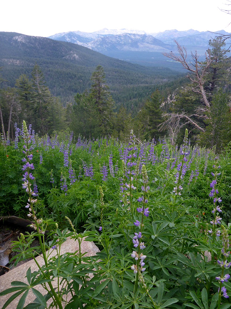
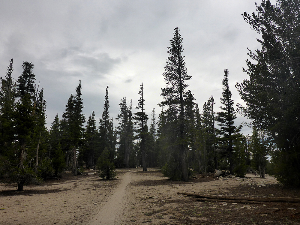
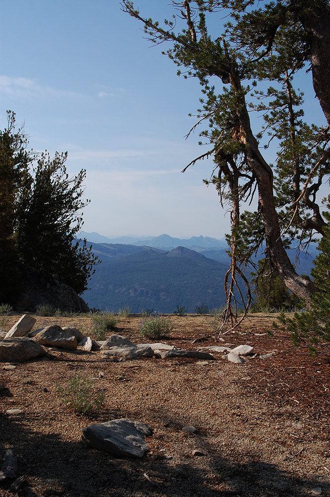
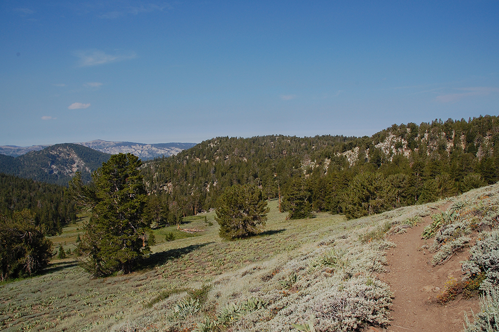
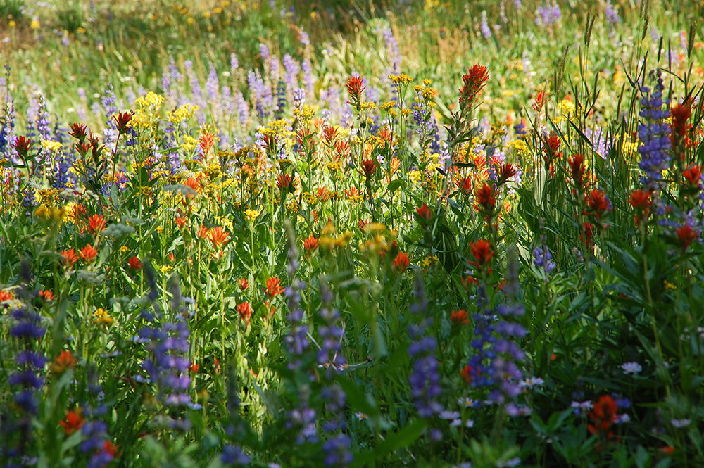
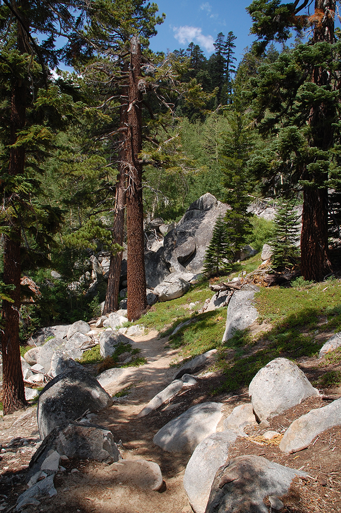
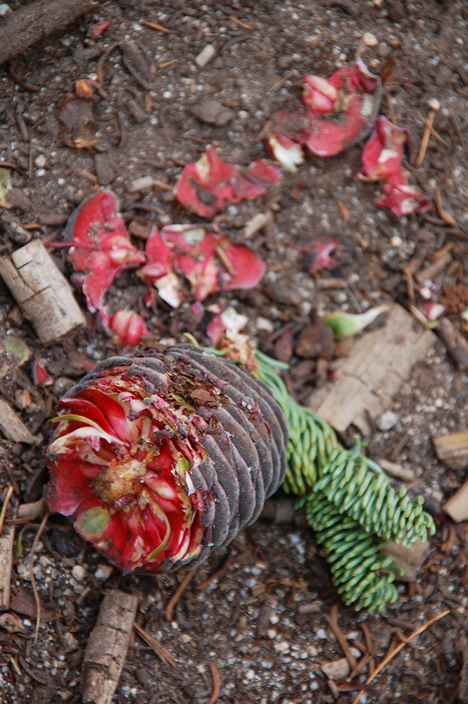
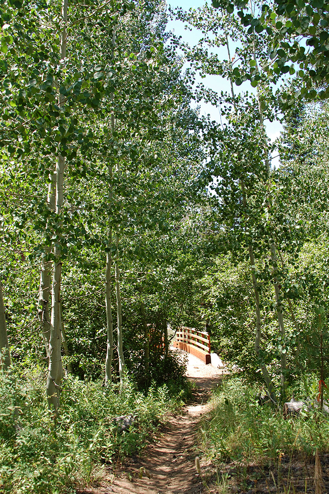
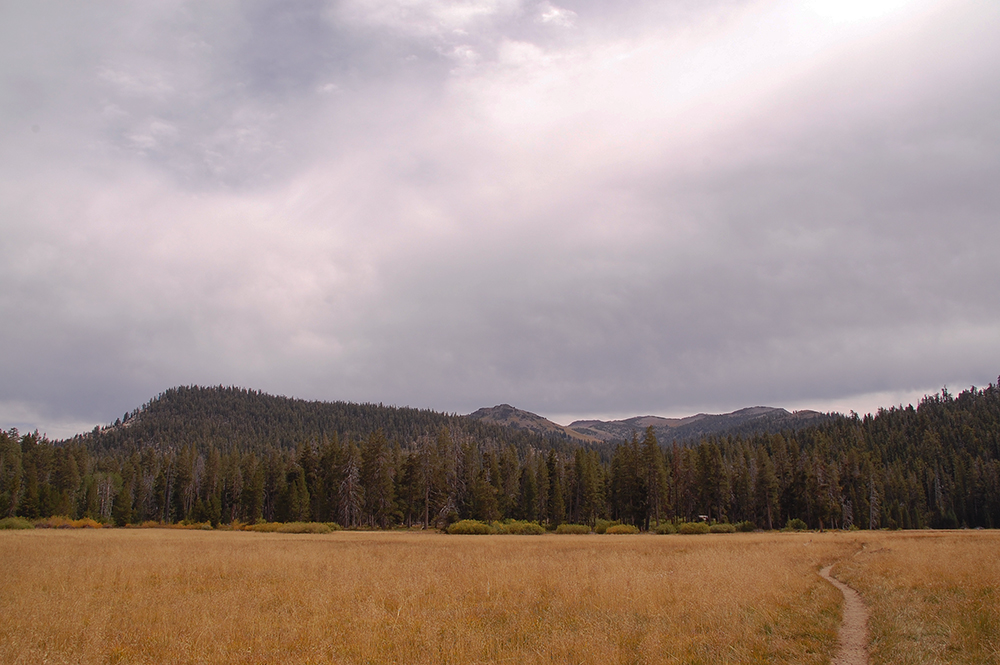
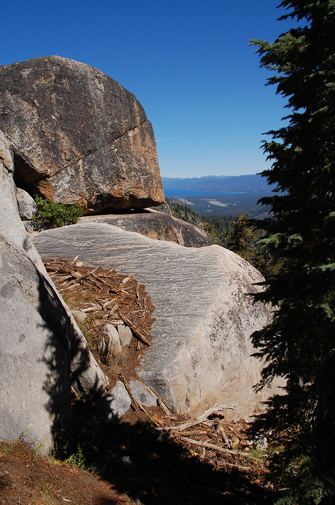
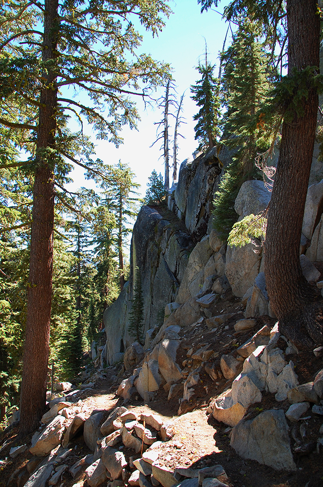
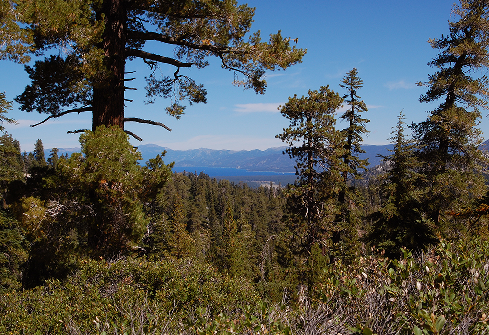
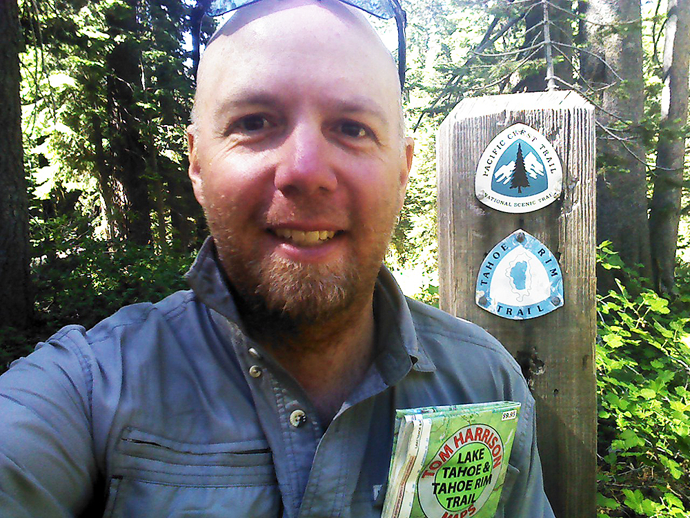
1 – Leaving My Home in Meyers 2 – View from Johnson Pass Road 3 – The TRT/PCT Intersection at Johnson Pass Road 4 – Hiking Along Lower Echo Lake 5 – The Tahoe Rim Trail in Desolation Wilderness 6 – Spreading Phlox 7 – Storm Clouds South of Lake Aloha 8 – Lake Aloha and Pyramid Peak 9 – Near Susie Lake 10 – Butterflies and Wildflowers 11 – Hiking up to Dick’s Pass 12 – Marsh in Desolation Wilderness 13 – Lupine Along the Tahoe Rim Trail 14 – Morning Meadow South of Barker Pass 15 – German Pacific Crest Trail Thru-Hiker “Sprinkles” 16 – Oregonian Pacific Crest Trail Thru-Hiker “Sizzler” 17 – Southern Californian Tahoe Rim Trail Thru-Hiker “ET” 18 – Mariposa Lily 19 – Field of Mule’s Ears 20 – Mule’s Ears and Lake Tahoe 21 – Grasshopper Chewing on the Brim of My Hat 22 – Tahoe Rim Trail 23 – Eating Breakfast Near Ward Creek 24 – Paige Meadow 25 – Me and My Friend Kyle in Tahoe City 26 – Lake Tahoe at Dusk 27 – Lake Tahoe in the Morning 28 – Tahoe Rim Trail 29 – Family of Snowplant 30 – Lake Tahoe Viewed from the Tahoe Rim Trail 31 – Watson Lake 32 – Spending July 4th Down the Mountain from Martis Peak Lookout 33 – Wildflowers and Mountain Range 34 – Looking into Crystal Bay 35 – Panorama of Crystal Bay 36 – Gray Lake 37 – Starting to Hike up Relay Peak 38 – Near Galena Falls 39 – Tahoe Meadows 40 – Cloud Bank over the Carson Valley 41 – Mountain Bike Tread Patterns and Mountain Pride 42 – Tahoe Rim Trail 43 – Sage Fields Above Marlette Lake 44 – Marlette Lake and Lake Tahoe 45 – Marlette Lake and Lake Tahoe in the Background 46 – Paintbrush Along the Tahoe Rim Trail 47 – Friends Meeting Me at Spooner Summit for a Picnic and Resupply 48 – Hiking to South Camp Peak 49 – Sunset over Lake Tahoe 50 – Getting in some Late Evening Bonus Miles 51 – Near South Camp Peak 52 – Wooden Bench with Views of Lake Tahoe 53 – South Lake Tahoe and the Casinos at Stateline 54 – Chairlift at Heavenly Ski Resort 55 – Late Afternoon Storm Clouds 56 – Hiking in Rain Near Star Lake 57 – Sunset Viewed Near Star Lake 58 – Large-Leaf Lupine in Armstrong Pass 59 – Tahoe Rim Trail near Armstrong Pass 60 – Looking South over Hope Valley 61 – Freel Meadows 62 – Wildflower Bouquet 63 – Granite and Jeffrey Pines 64 – Half-Eaten Fir Cone 65 – Bridge over Grass Lake Creek 66 -Big Meadows 67 – Chance Meeting with Kristina & Bob 68 – Round Lake 69 – Almost to the TRT/PCT Junction in Meiss Country 70 – Derelict Structures in Meiss Country 71 – Cloud Cover 72 – Sunset Viewed from Showers Lake 73 – Serene Morning at Showers Lake 74 – Sliver of Lake Tahoe 75 – Tahoe Rim Trail South of Echo Summit 76 – Meadow and Jeffrey Pine Trees 77 – Tahoe Rim Trail 78 – Granite Boulders and a View of Lake Tahoe 79 – Granite Wall along the Tahoe Rim Trail 80 – View of Lake Tahoe just South of Echo Summit 81 – The TRT/PCT Junction at Johnson Pass Road


Please note that the batteries in my camera died early on Day 9 of my thru-hike, so I went back and re-hiked the 25 miles on August 1, 29, and 30 to take more photos.
For more specifics about my thru-hike of the Tahoe Rim Trail, or if you want feedback concerning hiking the TRT, contact me.
Loving your website. Hiking the TRT is on my bucket list….although not straight thru!
Thanks, Lisa! I appreciate the kind words 🙂
The TRT is definitely a fun trail to hike. And, it’s actually a relatively easy one to complete in sections due to the various major road crossings. So if you don’t want to hike it one single effort, you can do it over the course of multiple trips! I highly recommend it!