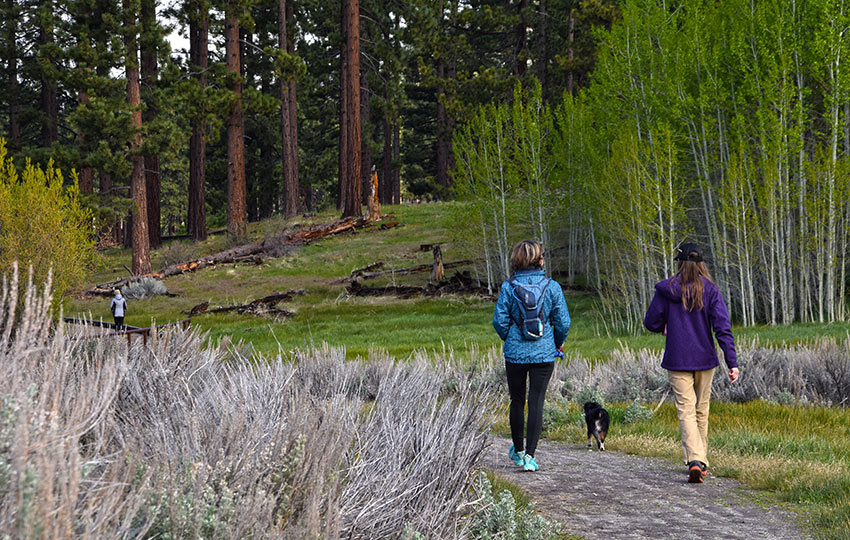
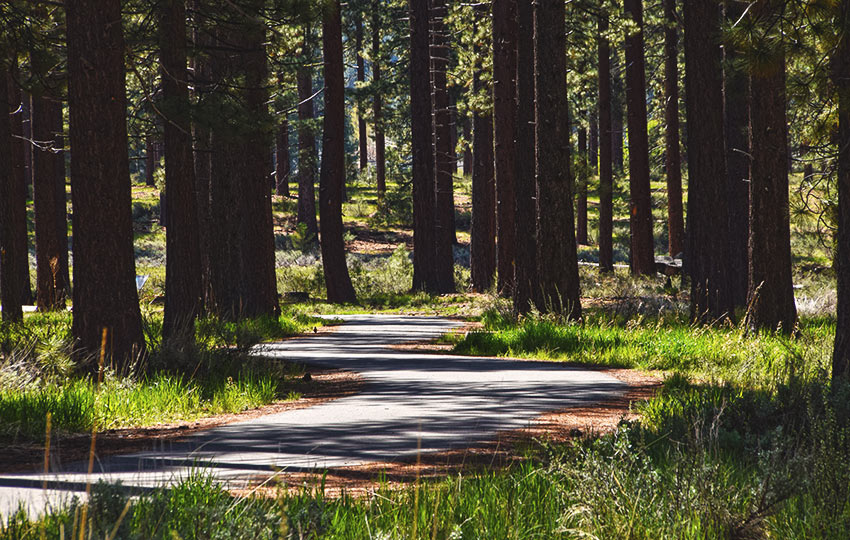
The Lam Watah Historic Trail is just east of the casinos of Stateline, NV. The trail is akin to a self-guided city park trail with its meticulous maintained trail and informative placards discussing historic aspects of the area. However, it provides a welcome respite from the insanity of the casino corridor.
You can hike it as an out-and-back trail (roughly 2 miles long) or a loop trail via the Nevada Beach Campground (roughly 3 miles long). Either way, the Lam Watah Historic Trail is perfect for children and elderly adults as it’s flat and easy to navigate.
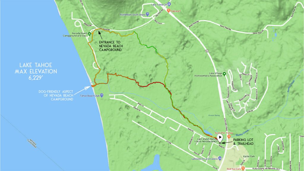
One of the most appealing aspects of this trail is that it leads directly to Lake Tahoe. From this trail, you’ll access the south end of the Nevada Beach Campground. This also happens to be the dog friendly aspect of the beach.
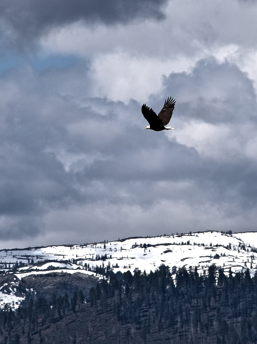
Another thing I love about this trail is that the pond at the beginning of the trail hosts diverse birds. So, I can make a quick stop at the pond for easy access to watch and photograph birds!
Support Tahoe Trail Guide with a financial contribution via PayPal (single contribution) or Patreon (reoccurring contributions). Your support of Tahoe Trail Guide is very much appreciated!

Lam Watah Historic (Rabe Meadows) Trail Data (approximations):
- Location: South Tahoe – Stateline
- Category of Hike: Short Hike
- Category of XC Ski/Snowshoe Route: Beginner
- Total Mileage: 2-3 miles (depending on hiking out-and-back or a loop)
- Total Elevation Gain: n/a
- Highest Point: 6,275 feet
- Trail Conditions: Packed sand and paved trail
For other shorter hiking options, visit Short and Easy Hikes in South Lake Tahoe.
Considerations for Hiking the Lam Watah Historic Trail through Rabe Meadows:
- Don’t disturb (or let your dog disturb) the wildlife in this area as Rabe Meadows is a sensitive habitat
- Don’t leave anything visible or valuable in your vehicle at the trailhead to the Lam Watah Historic Trail as homeless people do frequent this parking lot due to its relative proximity to the casinos
- Dogs are allowed, but keep them on leash and pick up after them
- Adhere to all Leave No Trace principles
- There are few trail signs and markers on public lands in the Tahoe region, so unless there are tracks to follow, the correct route may be difficult to identify–when in doubt, turn back
- Be prepared for inclement weather and carry plenty of warm clothes, food, and water
- Leave an itinerary of your plans with someone who’ll call emergency services if you don’t return by your prescribed time
Parking for the Lam Watah Historic Hiking Trail through Rabe Meadows:
Parking is fairly limited at approximately 18 spots. However, it’s free and vehicle turnover is relatively high since the Lam Watah Historic Trail is so short.
The parking lot is located east of the Stateline casinos and Kingsbury Grade (SR 207). This is on the lake side of HWY 50, specifically on Kahle Drive (pronounced like the leafy green).
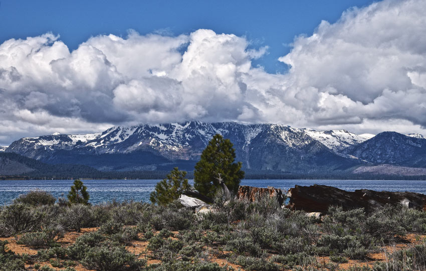
One note about this parking area … it occasionally attracts homeless people and panhandlers due to its close proximity to the casinos. I’ve never experienced any problems other than being asked for a handout. But, it’s best not to leave anything visible or valuable in your vehicle.
Realistically, this should be a standard practice for you when parking at any trailhead.
The trailhead to the Lam Watah Historic Trail is located at the parking lot on Kahle Drive.
Here’s a map to assist you in finding the parking lot and trailhead to the Lam Watah Historic Trail at Rabe Meadows.
Travel along the Lam Watah Historic Hiking Trail through Rabe Meadows:
The Lam Watah Historic Trail isn’t hard-core by any means. Nor, is it a secret Tahoe trail only known by a select few. But don’t let that discourage you from visiting Rabe Meadows.
In addition to its free parking, flat terrain, short distance, and easy access to Lake Tahoe, the diverse area provides a habitat for a variety of birds.
Also, this is a great place from which to watch the sunset. Just be sure you hustle back to your vehicle after the sunset. Rabe Meadows is day-use only (i.e. sunup to sundown).
Again, the trailhead is at the parking lot on Kahle Drive.
About .6 miles (soon after the large wooden bridge), you’ll reach a fork in the trail. Take the dirt trail on the left to hike directly to Lake Tahoe.
The paved trail on the right is where you’ll return if you hike the Lam Watah Historic Trail in a loop.
Traveling along the dirt trail, you’ll know you’ve reached the Nevada Beach Campground when you see dog-related signs posted near a paved roadway (lined with campsites).
Look down at the road to find paw prints painted in yellow roughly every 20 feet. These prints will lead you to the south end of the campground’s beach where dogs are allowed to play.
You don’t have to follow those paw prints. At this point, you can hike anyway you want through the campground to access Lake Tahoe. Obviously, though, don’t walk through someone’s campsite.
Just know that the route highlighted on the map I’ve provided above is based on following the yellow paw prints to the beach, and then to the entrance of the campground.
No matter where you decide to walk, the shore of Lake Tahoe is essentially the turnaround point for an out-and-back hike along the Lam Watah Historic Trail.
To log an extra mile (for a total of just over 3 miles) and make a loop of this trip, hike through the Nevada Beach Campground to its entrance.
Then, walk along the paved path that runs alongside Elks Point Road. This trail travels in a clockwise direction and will eventually take you back to the fork in the trail that’s .60 miles from the parking lot.
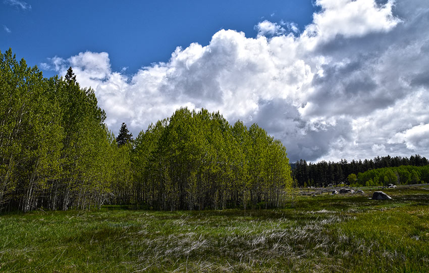
There are lots of people who hike their dogs on this trail as it is a dog-friendly trail. So, definitely keep yours on a leash and pick up after them.
The Lam Watah Historic Trail is a favorite of many locals who work in the immediate area. This is because it provides them an opportunity to go for a scenic walk during their lunch breaks.
For other shorter hiking options, visit Short and Easy Hikes in South Lake Tahoe.
The trail also provides an easy hiking option during low-snow winters because it’s located at lake level and on the eastern side of South Tahoe. For example, it takes a long time for snow to accumulate at Rabe Meadows.
Lastly, if you’re just looking to escape for an hour or two from your family or the business convention you’re attending, the Lam Watah Historic Trail makes for a relaxing and low commitment hike!
Do you have other insight, feedback, or trail updates about hiking Lam Watah Historic Trail (Rabe Meadows)?
If so, please post it in the comment section below for the benefit of everybody 🙂
We hiked a portion of this trail today. For a trail so close to “civilization” it offers some beautiful scenery and open spaces. My one disappointment was the number of dog turds along the trail from the parking lot past the Aspen grove about to where the wooden bridge crosses the creek. Not only were they everywhere (it literally stank in places) but there were many left in plastic bags along the trail. Who the heck is going to pack out these little presents? I had my old dog with me and we did not leave anything behind. I sure wish folks could enjoy this area with their dogs without leaving mementoes for other trail users. It’s a shame.
Hey Ed,
I totally agree with you about the dog poo issue. It’s a problem. And it’s definitely become a bigger problem at popular and easily accessible trails in Tahoe these past few years. Trash left in open spaces and wild lands has also become a huge problem these past few years. I’m sure there are many reasons why people don’t pack out their dog poo or trash, but none of them are good.
With so many people having moved to Tahoe from urban areas in recent years, I can’t help but wonder if they don’t just expect some sort of paid employee (i.e. worker from the parks and recreation department, or someone from the Forest Service) take care of the place. This isn’t really the case here in Tahoe. Obviously, on the books, there’s an agency responsible for maintaining each and every square inch of public space here in Tahoe. However, there are so many different agencies and jurisdictions around Tahoe that manage lands, but don’t necessarily have the budget to pay someone to go and pick up trash at each site every day. Mostly, I think all Tahoe-related agencies are (and have been for years) dealing with triage rather than preventive action due to low budgets and lack of staffing. In fact, a lot of the clean-up initiatives have been lead by volunteer groups because everyone is tired of seeing trash and dog poo everywhere. Well, everyone except those people who leave it behind!
Anyway, it’s definitely a bummer to see as much trash on the trails as we have in recent years. I try to carry a plastic bag with me whenever I hike so that I can pack out some of the trash that I find.
I also wanted to say that I really appreciate your support! You’re very kind 🙂
Glad you’re finding my website helpful, and always feel free to reach out if you have any questions.
I’m slowly trying to get back in the habit of writing new articles for Tahoe Trail Guide. This past year or so I’ve taken a break from publishing new articles and have mostly been editing and cleaning up the entire website to be more user friendly. During that time I’ve also invested more in my YouTube channel, so check that out as well (http://www.youtube.com/jaredmanninen). Although, much of what I’ve published these past two years on YouTube is winter-related content (i.e. cross-country skiing and snowshoeing).
Anyway, thanks again for everything!
Thanks for the reply Jared. I’m going to take your suggestion and start packing a trash bag. Keep up the good work, love the site.
Thanks again, Ed. I totally appreciate it 🙂
I usually carry with me a small plastic bag like a veggie bag from the grocery store or one used to bag groceries. They always seem to come in handy and not a hassle to carry with me.
Keep in touch!